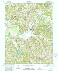
1969 Map of Dubois
USGS Topo · Published 1989About this map
The Patoka River winds through the heart of Dubois County, Indiana, carving a path through a landscape of wooded hills and small farming communities. This 1969 field-checked survey reveals a rural society centered around parish life and local infrastructure, notably the village of Dubois with St Raphaels Ch and the southern settlement of Celestine featuring St Celestine Sch. The map illustrates the region's topography just as the Hoosier National Forest boundary touches the northeastern corner near Crystal.
Find a feature on this map
43 named features on this map. Tap any name to fly to it.
Don’t see what you’re looking for? This feature index may not catch every label — zoom into the map to look around manually.
Map Details
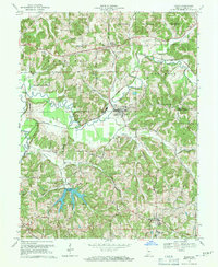
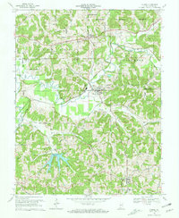
Editions of this 1969 Dubois Map
3 editions found
Other maps of this area

1946 · Jasper
USGS Topo · 1:24,000

1951 · Hillham
USGS Topo · 1:24,000

1954 · Dubois
USGS Topo · 1:24,000

1954 · Huntingburg
USGS Topo · 1:24,000

1955 · Saint Anthony
USGS Topo · 1:24,000

1956 · Alfordsville
USGS Topo · 1:24,000

1956 · Rusk
USGS Topo · 1:24,000

1956 · Vincennes
USGS Topo · 1:250,000

1957 · Vincennes
USGS Topo · 1:250,000

1957 · Cuzco
USGS Topo · 1:24,000