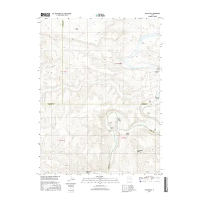
2017 Map of Duches Hole
USGS Topo · Published 2017About this map
The Green River snakes through deep plateau country in this 2017 survey, defining the border between Uintah and Carbon counties. This section of the river is characterized by expansive riverine flats known as "bottoms," including Boat Bottom, Maverick Bottom, and Ranch Bottom, which provided rare level ground for grazing and early settlement within the steep canyon walls. The geography here is defined by significant erosion, with Desolation Canyon and Ninemile Canyon converging near the river's path. Localized landmarks like Duches Hole, Gold Hole, and Slough Grass indicate specific points along the watercourse significant to local navigation and land use. Away from the primary river, the landscape rises into high desert features such as Little Desert and the Horse Bench, while remote access is traced by the Sand Wash Rd and Tabyago Canyon Rd.
Find a feature on this map
29 named features on this map. Tap any name to fly to it.
Don’t see what you’re looking for? This feature index may not catch every label — zoom into the map to look around manually.
Map Details
Editions of this 2017 Duches Hole Map
This is the sole edition of this map. No revisions or reprints were ever made.
Other maps of this area

1885 · East Tavaputs
USGS Topo · 1:250,000

1886 · Price River
USGS Topo · 1:250,000

1896 · Price River
USGS Topo · 1:250,000

1953 · Nutters Hole
USGS Topo · 1:62,500

1953 · Firewater Canyon
USGS Topo · 1:62,500

1954 · Flat Canyon
USGS Topo · 1:62,500

1956 · Price
USGS Topo · 1:250,000

1956 · Grand Junction
USGS Topo · 1:250,000

1959 · Grand Junction
USGS Topo · 1:250,000

1960 · Price
USGS Topo · 1:250,000