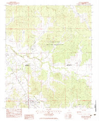
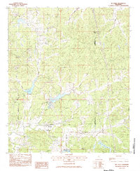
1983 Map of Duck Hill
USGS Topo · Published 1983About this map
The town of Duck Hill serves as the focal point for this 1980s-era topographic survey, situated at the junction of the Illinois Central Gulf railroad and several winding creek systems. The landscape is heavily defined by the expansive Camp Mc Cain Military Reservation, which occupies much of the northern and eastern portions of the terrain. The area's social geography is anchored by rural landmarks such as Bethlehem Cem and Mt Pisgah Ch, while the hydrological network is dominated by the Batupan Bogue and Big Bogue. This map illustrates the transition from organized military holdings to smaller rural settlements like Elliott and Sykes, showing a patchwork of wooded hillsides and valley corridors. The presence of the Johnson Landing Strip and a local High Sch in Duck Hill suggests a community balancing traditional agricultural roots with mid-century infrastructure and regional defense needs.
Find a feature on this map
22 named features on this map. Tap any name to fly to it.
Don’t see what you’re looking for? This feature index may not catch every label — zoom into the map to look around manually.
Map Details
Editions of this 1983 Duck Hill Map
2 editions found
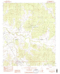
Other maps of this area

1953 · West Point
USGS Topo · 1:250,000

1954 · Grenada
USGS Topo · 1:62,500

1954 · Duck Hill
USGS Topo · 1:62,500

1954 · McCarley
USGS Topo · 1:62,500

1955 · Coffeeville
USGS Topo · 1:62,500

1958 · West Point
USGS Topo · 1:250,000

1963 · West Point
USGS Topo · 1:250,000
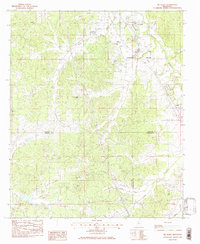
1983 · Tie Plant
USGS Topo · 1:24,000
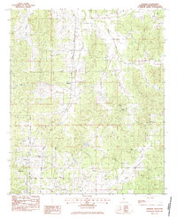
1983 · Eskridge
USGS Topo · 1:24,000
1983 · McCarley
USGS Topo · 1:24,000