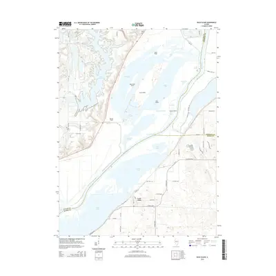
2015 Map of Duck Island
USGS Topo · Published 2015About this map
The Illinois River corridor dominates this landscape at the intersection of Fulton, Tazewell, and Mason Counties, where a complex network of backwater lakes and river islands defines the geography. Notable landforms including Duck Island, Miserable Island, and Senate Island are separated by intricate waterways such as Buckbrush Slough and Goose Slough. The presence of the Duck Cr Cooling Pond reflects the industrial infrastructure supporting the region’s energy needs, while the settlement of Goofy Ridge sits near the shores of Quiver Lake.
Find a feature on this map
64 named features on this map. Tap any name to fly to it.
Don’t see what you’re looking for? This feature index may not catch every label — zoom into the map to look around manually.
Map Details
Editions of this 2015 Duck Island Map
This is the sole edition of this map. No revisions or reprints were ever made.
Other maps of this area

1912 · Canton
USGS Topo · 1:62,500

1925 · Havana
USGS Topo · 1:62,500

1929 · Manito
USGS Topo · 1:62,500

1930 · Glasford
USGS Topo · 1:62,500

1932 · Manito
USGS Topo · 1:62,500

1947 · St. David
USGS Topo · 1:24,000

1947 · Havana
USGS Topo · 1:24,000

1948 · St. David
USGS Topo · 1:24,000
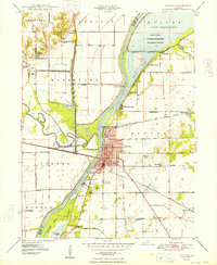
1948 · Havana
USGS Topo · 1:24,000

1948 · Glasford
USGS Topo · 1:62,500