Loading...
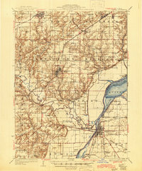
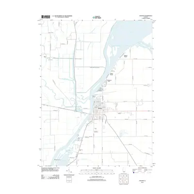
Loading map...1947 Map of Havana
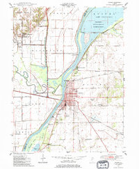
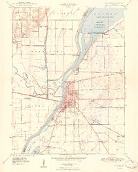
USGS Topo · Published 1984About this map
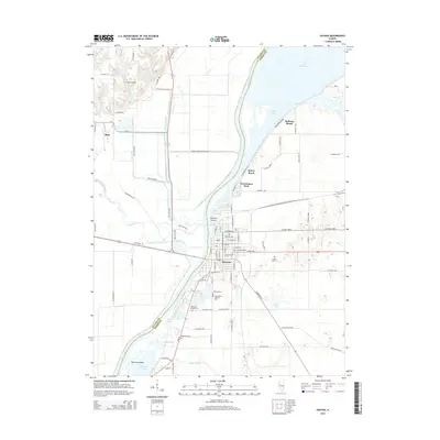
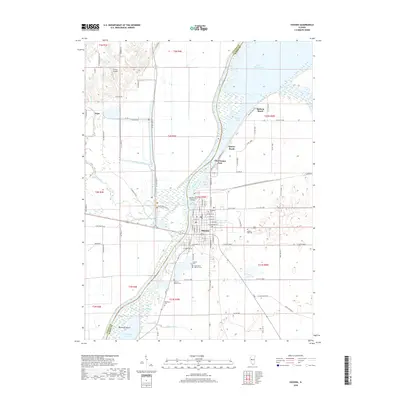
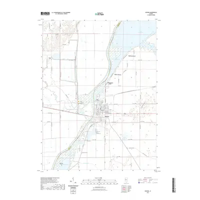
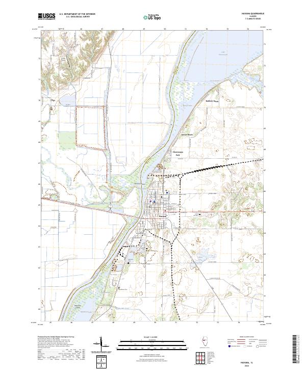
The Illinois River serves as the central artery for this mid-century landscape, dividing Fulton and Mason Counties. In the north, the Chautauqua National Migratory Waterfowl Refuge dominates the eastern bank, centered on the expansive Lake Chautauqua. Opposite the wildlife refuge, the western hills reveal a deep archaeological history with Dickson Mounds State Park and Ogden Mounds located near the small settlement of Sepo.
Find a feature on this map
54 named features on this map. Tap any name to fly to it.
Don’t see what you’re looking for? This feature index may not catch every label — zoom into the map to look around manually.
Map Details
Date Portrayed1947
Date Published1984
PublisherU.S. Geological Survey
Map TypeTopographic
Scale1:24,000
Physical Dimensions22 x 26.8 inches
Editions of this 1947 Havana Map
This is the sole edition of this map. No revisions or reprints were ever made.
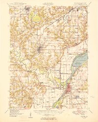
Historical Maps of Havana Through Time
9 maps found
Featured Locations
Source Details
SourceU.S. Geological Survey
CopyrightPublic Domain