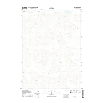
2014 Map of Duck Lake
USGS Topo · Published 2014About this map
Calf Creek Valley defines this portion of Cherry County, Nebraska, where the landscape is marked by the complex topography of the Sandhills. The drainage patterns of Calf Cr and Bass Cr underscore the area's hydrology, while Duck Lake sits in the northeast corner of the quadrangle. Transport through this sparsely populated cattle country is anchored by Seneca Rd, a primitive route cutting across the northern reaches. This 2014 survey captures a moment in time when the fundamental character of this Nebraska rangeland remains defined by its natural water features and significant valley formations rather than human settlement.
Find a feature on this map
5 named features on this map. Tap any name to fly to it.
Don’t see what you’re looking for? This feature index may not catch every label — zoom into the map to look around manually.
Map Details
Editions of this 2014 Duck Lake Map
This is the sole edition of this map. No revisions or reprints were ever made.
Other maps of this area

1948 · Seneca
USGS Topo · 1:62,500

1948 · Seneca 4
USGS Topo · 1:62,500

1949 · Seneca 4
USGS Topo · 1:62,500

1951 · Seneca
USGS Topo · 1:62,500

1951 · Bull Lake
USGS Topo · 1:62,500

1951 · Brownlee
USGS Topo · 1:62,500

1957 · Valentine
USGS Topo · 1:250,000

1959 · Valentine
USGS Topo · 1:250,000

1985 · Goose Creek
USGS Topo · 1:100,000
1985 · Brownlee
USGS Topo · 1:24,000