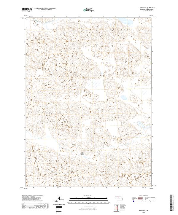
2021 Map of Duck Lake
USGS Topo · Published 2021About this map
Duck Lake sits in the northern reaches of this Nebraska Sandhills landscape, a region defined by its distinct undulating topography and subtle watercourses. The drainage patterns are anchored by Calf Cr and its associated Calf Creek Valley, which winds through the southern portion of the quadrangle. In a landscape where surface water is a vital resource, these small creeks and the named Pass Cr in the northwest corner provide key geographic orientation within the extensive sand dune formations of Cherry County.
Find a feature on this map
9 named features on this map. Tap any name to fly to it.
Don’t see what you’re looking for? This feature index may not catch every label — zoom into the map to look around manually.
Map Details
Editions of this 2021 Duck Lake Map
This is the sole edition of this map. No revisions or reprints were ever made.
Other maps of this area

1948 · Seneca
USGS Topo · 1:62,500

1948 · Seneca 4
USGS Topo · 1:62,500

1949 · Seneca 4
USGS Topo · 1:62,500

1951 · Seneca
USGS Topo · 1:62,500

1951 · Bull Lake
USGS Topo · 1:62,500

1951 · Brownlee
USGS Topo · 1:62,500

1957 · Valentine
USGS Topo · 1:250,000

1959 · Valentine
USGS Topo · 1:250,000

1985 · Goose Creek
USGS Topo · 1:100,000
1985 · Brownlee
USGS Topo · 1:24,000