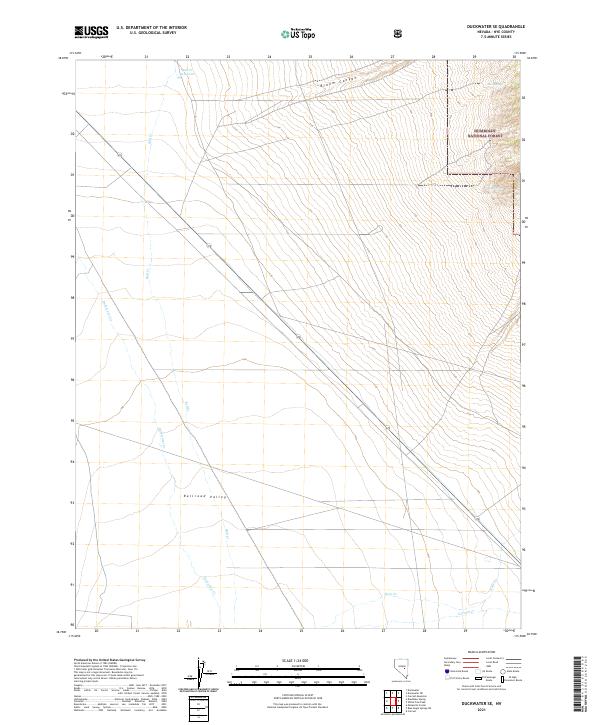
2021 Map of Duckwater SE
USGS Topo · Published 2021About this map
Railroad Valley dominates the central topography of this section of Nye County, where the desert floor meets the rising elevations of the Humboldt National Forest. The landscape is defined by its drainage patterns, most notably the seasonal flows of Duckwater Creek and Bull Creek, which lead toward the Bull Creek Reservoir in the northern reaches of the quadrangle. Highway 379 cuts diagonally across the basin, providing the primary corridor through this sparsely populated terrain.
Find a feature on this map
19 named features on this map. Tap any name to fly to it.
Don’t see what you’re looking for? This feature index may not catch every label — zoom into the map to look around manually.
Map Details
Editions of this 2021 Duckwater SE Map
This is the sole edition of this map. No revisions or reprints were ever made.
Other maps of this area

1956 · Lund
USGS Topo · 1:250,000

1957 · Currant Mtn
USGS Topo · 1:62,500

1960 · Lund
USGS Topo · 1:250,000

1964 · Blue Eagle Springs
USGS Topo · 1:62,500

1964 · Duckwater
USGS Topo · 1:62,500

1964 · Currant
USGS Topo · 1:62,500

1964 · Currant Mtn
USGS Topo · 1:62,500

1980 · Duckwater
USGS Topo · 1:100,000
1990 · Bradshaw Spring
USGS Topo · 1:24,000
1990 · Duckwater NE
USGS Topo · 1:24,000