
1929 Map of Ducor
USGS Topo · Published 1929About this map
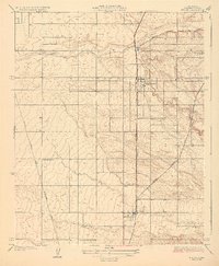
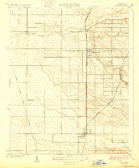
Terra Bella and Ducor anchor this late 1920s landscape in Tulare County, illustrating the agricultural and infrastructural development of the southern San Joaquin Valley. The grid of the Pacific Highway and the Southern Pacific railroad tracks bisect the region, while the Atchison Topeka and Santa Fe line angles through the eastern hills. This period shows a transition toward modern utility and irrigation, evidenced by the Edison Company Transmission Line and the organized agricultural tract of the Deer Creek Colony. Water management is central to the area's layout, with Deer Creek and its Old Channel winding through the topography, alongside local landmarks like Wheatland Sch that served the growing rural community.
Find a feature on this map
12 named features on this map. Tap any name to fly to it.
Don’t see what you’re looking for? This feature index may not catch every label — zoom into the map to look around manually.
Map Details
Editions of this 1929 Ducor Map
3 editions found
Other maps of this area

1904 · Kaweah
USGS Topo · 1:125,000

1909 · Kaweah
USGS Topo · 1:125,000

1926 · Quincy School
USGS Topo · 1:31,680

1928 · Woodville
USGS Topo · 1:31,680

1929 · Delano
USGS Topo · 1:31,680

1929 · Sausalito School
USGS Topo · 1:31,680

1929 · Richgrove
USGS Topo · 1:31,680

1929 · Porterville
USGS Topo · 1:31,680

1929 · Quincy School
USGS Topo · 1:31,680

1936 · White River
USGS Topo · 1:62,500