Loading...
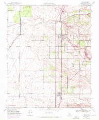
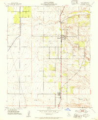
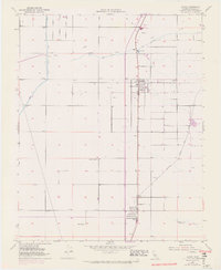
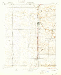
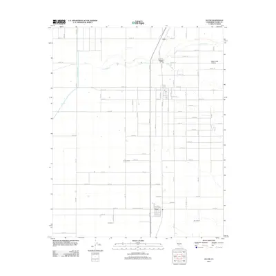
Loading map...1952 Map of Ducor
USGS Topo · Published 1972About this map
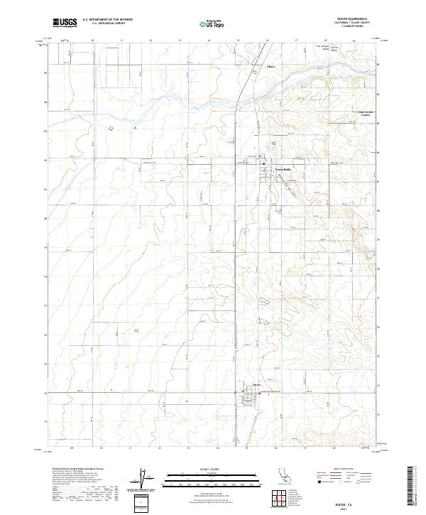
The agricultural landscape of Tulare County is defined here by the critical water infrastructure of the Friant Kern Canal and the natural course of Deer Creek. In this mid-century survey, the town of Terra Bella and the smaller community of Ducor serve as central nodes for the surrounding ranchlands. The map reveals the intricate management of water in the Central Valley, showcasing a network of Reservoir sites, a Siphon, and a Pumping Sta.
Find a feature on this map
16 named features on this map. Tap any name to fly to it.
Don’t see what you’re looking for? This feature index may not catch every label — zoom into the map to look around manually.
Map Details
Date Portrayed1952
Date Published1972
PublisherU.S. Geological Survey
Map TypeTopographic
Scale1:24,000
Physical Dimensions22 x 26.8 inches
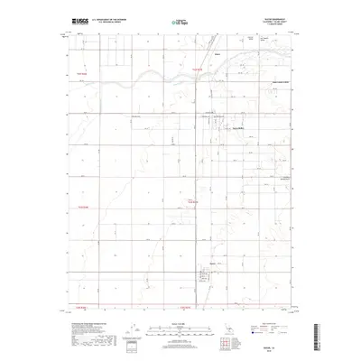
Editions of this 1952 Ducor Map
3 editions found
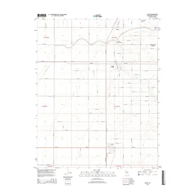
Historical Maps of Terra Bella Through Time
6 maps found
Featured Locations
Source Details
SourceU.S. Geological Survey
CopyrightPublic Domain