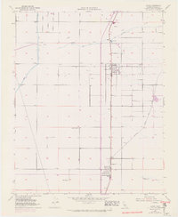
1952 Map of Ducor
USGS Topo · Published 1972About this map
Terra Bella and Ducor serve as the primary hubs in this Central Valley landscape, where intensive water management and rail logistics define the local economy. The massive engineering of the Friant Kern Canal cuts through the western section, complete with a Siphon and Pumping Sta to manage the flow essential for the region's agriculture. The natural course of Deer Creek is supplemented by the Deer Creek Channel, illustrating the mid-century effort to control seasonal runoff.
Find a feature on this map
15 named features on this map. Tap any name to fly to it.
Don’t see what you’re looking for? This feature index may not catch every label — zoom into the map to look around manually.
Map Details
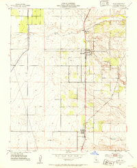
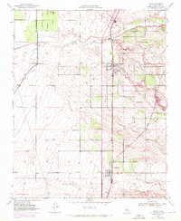
Editions of this 1952 Ducor Map
3 editions found
Other maps of this area

1904 · Kaweah
USGS Topo · 1:125,000

1909 · Kaweah
USGS Topo · 1:125,000

1926 · Quincy School
USGS Topo · 1:31,680

1928 · Woodville
USGS Topo · 1:31,680

1929 · Delano
USGS Topo · 1:31,680

1929 · Sausalito School
USGS Topo · 1:31,680

1929 · Richgrove
USGS Topo · 1:31,680

1929 · Porterville
USGS Topo · 1:31,680

1929 · Quincy School
USGS Topo · 1:31,680

1929 · Ducor
USGS Topo · 1:31,680