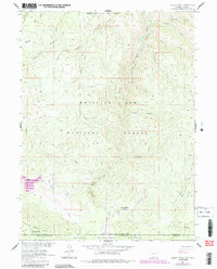
1961 Map of Dudley Creek
USGS Topo · Published 1984About this map
The Continental Divide and the high ridges of the Sierra Madre define the landscape of this survey, where the headwaters of the Encampment River flow northward through steep canyons and mountain parks. This high-altitude terrain, straddling the Wyoming and Colorado state line, is heavily influenced by the drainage patterns of the Medicine Bow National Forest and Routt National Forest. Small mountain meadows like Willow Park, Hog Park, and Beaver Dam Park appear as clearings within the dense woodland, often serving as critical points of orientation for those navigating the rugged slopes.
Find a feature on this map
30 named features on this map. Tap any name to fly to it.
Don’t see what you’re looking for? This feature index may not catch every label — zoom into the map to look around manually.
Map Details
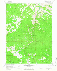
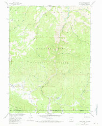
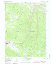
Editions of this 1961 Dudley Creek Map
4 editions found
Other maps of this area

1911 · Hahns Peak
USGS Topo · 1:125,000

1913 · Hahns Peak
USGS Topo · 1:125,000

1939 · Saratoga
USGS Topo · 1:125,000

1954 · Rawlins
USGS Topo · 1:250,000

1954 · Craig
USGS Topo · 1:250,000

1955 · Davis Peak
USGS Topo · 1:24,000

1956 · Pearl
USGS Topo · 1:62,500

1957 · Craig
USGS Topo · 1:250,000

1958 · Rawlins
USGS Topo · 1:250,000

1958 · Craig
USGS Topo · 1:250,000