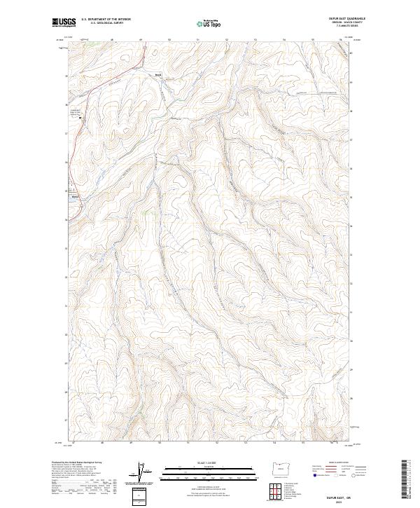
2023 Map of Dufur East
USGS Topo · Published 2023About this map
Dufur and the small settlement of Boyd serve as the primary hubs in this agricultural landscape of north-central Oregon. The terrain is defined by a dense network of drainages including Fifteenmile Creek, Starveout Creek, and Pine Creek, which cut through deep geographic features like Easton Canyon and Stubb Hollow. This modern survey illustrates the enduring rural character of the region, where market roads such as Boyd Mkt Rd and Easton Canyon Mkt Rd connect isolated farmsteads and ridges. A significant site for genealogists is the Independent Order of Odd Fellows Cem located northwest of Dufur near The Dalles-California Hwy. The map provides a detailed view of the sectional divisions across townships T1S R13E and T2S R14E, revealing the persistent land-use patterns of the Wasco County wheat country.
Find a feature on this map
31 named features on this map. Tap any name to fly to it.
Don’t see what you’re looking for? This feature index may not catch every label — zoom into the map to look around manually.
Map Details
Editions of this 2023 Dufur East Map
This is the sole edition of this map. No revisions or reprints were ever made.
Other maps of this area

1930 · Dufur
USGS Topo · 1:125,000

1934 · Dufur
USGS Topo · 1:125,000

1934 · The Dalles
USGS Topo · 1:125,000

1953 · The Dalles
USGS Topo · 1:250,000

1956 · The Dalles
USGS Topo · 1:250,000

1957 · The Dalles
USGS Topo · 1:250,000

1957 · The Dalles
USGS Topo · 1:62,500

1957 · Wishram
USGS Topo · 1:62,500

1962 · Sherars Bridge
USGS Topo · 1:24,000

1962 · Postage Stamp Butte
USGS Topo · 1:24,000