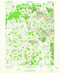
1963 Map of Dugger
USGS Topo · Published 1981About this map
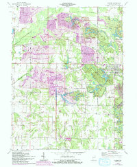
The town of Dugger serves as the hub of this 1960s survey, illustrating a landscape defined by industrial extraction and rail transport. Significant Strip Mine operations and numerous Mine Dumps characterize the terrain, especially south and west of the main settlement. The Pennsylvania Railroad and Illinois Central Railroad provide the backbone for this economy, connecting coal resources to broader markets.
Find a feature on this map
51 named features on this map. Tap any name to fly to it.
Don’t see what you’re looking for? This feature index may not catch every label — zoom into the map to look around manually.
Map Details
Editions of this 1963 Dugger Map
5 editions found
Other maps of this area

1940 · Linton
USGS Topo · 1:24,000

1940 · Jasonville
USGS Topo · 1:24,000

1942 · Shelburn
USGS Topo · 1:24,000

1943 · Hymera
USGS Topo · 1:24,000

1943 · Carlisle
USGS Topo · 1:24,000

1943 · Sandborn
USGS Topo · 1:24,000

1943 · Sullivan
USGS Topo · 1:24,000

1943 · Dugger
USGS Topo · 1:24,000

1944 · Bucktown
USGS Topo · 1:24,000

1947 · Linton
USGS Topo · 1:24,000