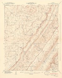
1947 Map of Dugout Valley
USGS Topo · Published 1947About this map
Dugout Valley and Big Valley run parallel between the prominent heights of Sand Mountain and Lookout Mountain in this 1946 field study. The landscape is defined by its ridge-and-valley topography, where movement is dictated by narrow passes like Whiteoak Gap, Biddle Gap, and Snake Gap. Human settlement is concentrated along the lowlands and the Southern Railway corridor, which services the community of Hammondville.
Find a feature on this map
63 named features on this map. Tap any name to fly to it.
Don’t see what you’re looking for? This feature index may not catch every label — zoom into the map to look around manually.
Map Details
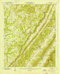
Editions of this 1947 Dugout Valley Map
2 editions found
Other maps of this area

1886 · Stevenson
USGS Topo · 1:125,000

1892 · Stevenson
USGS Topo · 1:125,000

1893 · Fort Payne
USGS Topo · 1:125,000

1895 · Stevenson
USGS Topo · 1:125,000

1898 · Fort Payne
USGS Topo · 1:125,000

1900 · Fort Payne
USGS Topo · 1:125,000

1936 · Ider
USGS Topo · 1:24,000

1936 · Dugout Valley
USGS Topo · 1:24,000

1936 · Chavies
USGS Topo · 1:24,000

1936 · Sulphur Springs
USGS Topo · 1:24,000