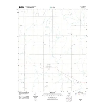
2012 Map of Duke
USGS Topo · Published 2012About this map
Duke serves as the central hub of this Jackson County landscape, situated at the intersection of a sprawling rural road network. The town's layout is defined by streets like 1st St and 5th St, reflecting its role as a local point of settlement in southwestern Oklahoma. The surrounding countryside is heavily shaped by water management and drainage, notably through the Turkey Cr system and several specialized reservoirs including Tri-County Turkey Cr Site 28a Reservoir.
Find a feature on this map
29 named features on this map. Tap any name to fly to it.
Don’t see what you’re looking for? This feature index may not catch every label — zoom into the map to look around manually.
Map Details
Editions of this 2012 Duke Map
This is the sole edition of this map. No revisions or reprints were ever made.
Other maps of this area

1955 · Lawton
USGS Topo · 1:250,000

1964 · Martha
USGS Topo · 1:24,000

1964 · Olustee
USGS Topo · 1:24,000

1971 · Russell
USGS Topo · 1:24,000

1971 · Mangum South
USGS Topo · 1:24,000

1971 · Mc Queen
USGS Topo · 1:24,000

1971 · Duke SW
USGS Topo · 1:24,000

1971 · Duke
USGS Topo · 1:24,000

1971 · Prairie Hill
USGS Topo · 1:24,000

1971 · Hester
USGS Topo · 1:24,000