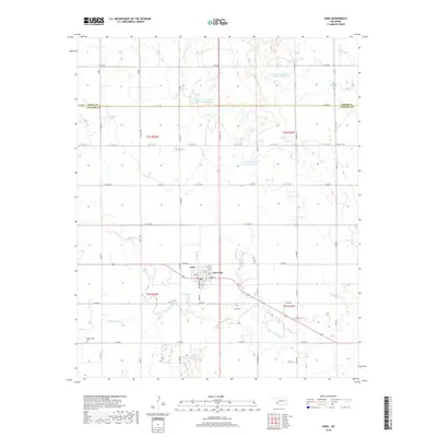
2018 Map of Duke
USGS Topo · Published 2018About this map
Duke and East Duke serve as the primary hubs of this agricultural landscape in southwestern Oklahoma. The surrounding countryside is defined by a grid of rural section roads, including E1620 Rd and Broadway Ave, which link numerous family landmarks and burial sites. Local heritage is preserved at Rock Cem, Duke Cem, and Cottonwood Cem, providing critical points of interest for genealogical research. The hydrology of the area is shaped by the managed waters of the Tri-County Turkey Cr Site 28a Reservoir and several related sites along Turkey Cr. Smaller drainages such as Cottonwood Cr and Spring Br cut through the terrain, illustrating the local drainage patterns that dictate the placement of farms and homesteads across this part of Jackson and Greer counties.
Find a feature on this map
51 named features on this map. Tap any name to fly to it.
Don’t see what you’re looking for? This feature index may not catch every label — zoom into the map to look around manually.
Map Details
Editions of this 2018 Duke Map
This is the sole edition of this map. No revisions or reprints were ever made.
Other maps of this area

1955 · Lawton
USGS Topo · 1:250,000

1964 · Martha
USGS Topo · 1:24,000

1964 · Olustee
USGS Topo · 1:24,000

1971 · Russell
USGS Topo · 1:24,000

1971 · Mangum South
USGS Topo · 1:24,000

1971 · Mc Queen
USGS Topo · 1:24,000

1971 · Duke SW
USGS Topo · 1:24,000

1971 · Duke
USGS Topo · 1:24,000

1971 · Prairie Hill
USGS Topo · 1:24,000

1971 · Hester
USGS Topo · 1:24,000