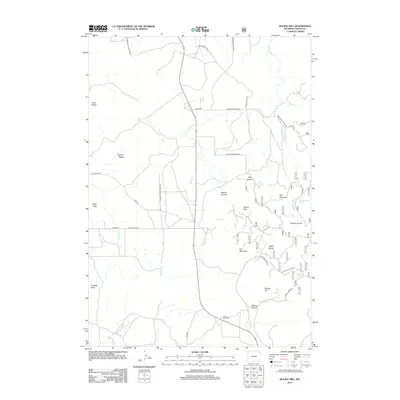
2012 Map of Duling Hill
USGS Topo · Published 2012About this map
Inyan Kara Cem sits along the southern edge of this landscape, a vital landmark for genealogists tracing family roots in this corner of Crook County. The terrain is defined by a series of prominent rises and canyons, including the namesake Duling Hill and the distinctive formations of the Black Buttes. A network of drainage systems, such as Silver Cr and Inyan Kara Cr, carves through the land, revealing a complex topography of ridges and flats like Black Flats. Local transit is marked by established routes like the Sundance-Inyan Kara Rd and Black Buttes Rd, which connect the scattered mountain peaks and springs. Notable summits such as Hooker Peak, Iron Mountain, and O'Haver Peak punctuate the horizon, while secluded water sources like Fish Canyon Spring and Bear Den Spring highlight the essential natural resources of this high-plains environment.
Find a feature on this map
37 named features on this map. Tap any name to fly to it.
Don’t see what you’re looking for? This feature index may not catch every label — zoom into the map to look around manually.
Map Details
Editions of this 2012 Duling Hill Map
This is the sole edition of this map. No revisions or reprints were ever made.
Other maps of this area

1898 · Sundance
USGS Topo · 1:125,000

1902 · Sundance
USGS Topo · 1:125,000

1954 · Gillette
USGS Topo · 1:250,000

1955 · Gillette
USGS Topo · 1:250,000

1958 · Gillette
USGS Topo · 1:250,000
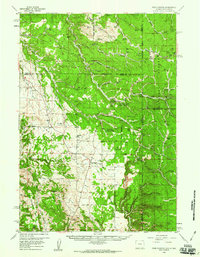
1958 · Four Corners
USGS Topo · 1:62,500
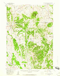
1958 · Inyan Kara Mountain
USGS Topo · 1:62,500

1958 · Tinton
USGS Topo · 1:62,500

1958 · Sundance
USGS Topo · 1:62,500

1962 · Gillette
USGS Topo · 1:250,000