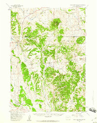
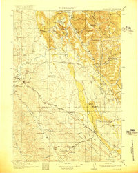
1958 Map of Inyan Kara Mountain
USGS Topo · Published 1960About this map
Inyan Kara Mountain stands as a prominent landmark within the Black Hills National Forest, marking a landscape defined by deep canyons and high ridges along the border of Crook and Weston counties. The late 1950s terrain reveals a pocket of historical significance with the location of Historical Graves (Two of Custers Men) near Inyan Kara Creek, a poignant tie to the region's 19th-century military movements.
Find a feature on this map
45 named features on this map. Tap any name to fly to it.
Don’t see what you’re looking for? This feature index may not catch every label — zoom into the map to look around manually.
Map Details
Editions of this 1958 Inyan Kara Mountain Map
3 editions found
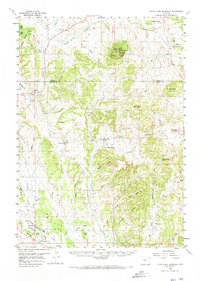
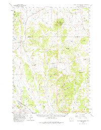
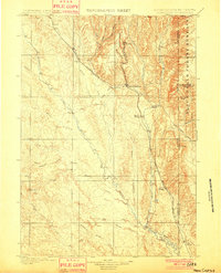
Other maps of this area

1898 · Sundance
USGS Topo · 1:125,000

1899 · Newcastle
USGS Topo · 1:125,000
1901 · Newcastle
USGS Topo · 1:125,000

1902 · Sundance
USGS Topo · 1:125,000
1918 · Moorcroft
USGS Topo · 1:125,000

1954 · Gillette
USGS Topo · 1:250,000

1955 · Newcastle
USGS Topo · 1:250,000

1955 · Gillette
USGS Topo · 1:250,000
1957 · Nefsy Divide
USGS Topo · 1:62,500
1957 · Upton
USGS Topo · 1:62,500