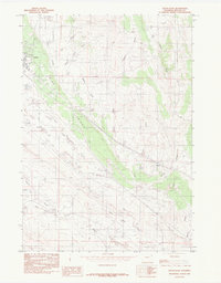
1984 Map of Upton East
USGS Topo · Published 1984About this map
The Pine Ridge escarpment cuts a striking diagonal across this corner of Weston County, separating the high plains drainage of Upton from the complex creek systems to the south and east. In the early 1980s, the landscape around the town of Upton reveals a mix of civic infrastructure and industrial activity, evidenced by a Clay Pit and the localized development of Roadside Park. This era of mapping shows the transition from upland draws like West Draw to the more perennial flows of Beaver Creek and Pine Creek, where various corrals indicate the continued importance of ranching in the regional economy.
Find a feature on this map
24 named features on this map. Tap any name to fly to it.
Don’t see what you’re looking for? This feature index may not catch every label — zoom into the map to look around manually.
Map Details
Editions of this 1984 Upton East Map
This is the sole edition of this map. No revisions or reprints were ever made.
Other maps of this area

1898 · Sundance
USGS Topo · 1:125,000

1899 · Newcastle
USGS Topo · 1:125,000

1901 · Newcastle
USGS Topo · 1:125,000

1902 · Sundance
USGS Topo · 1:125,000

1918 · Moorcroft
USGS Topo · 1:125,000

1954 · Gillette
USGS Topo · 1:250,000

1955 · Newcastle
USGS Topo · 1:250,000

1955 · Gillette
USGS Topo · 1:250,000

1957 · Upton
USGS Topo · 1:62,500

1958 · Gillette
USGS Topo · 1:250,000