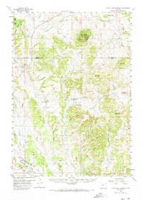
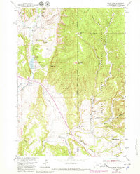
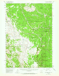
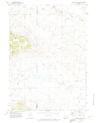
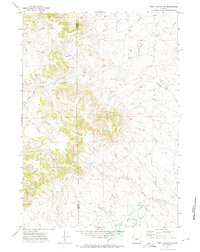
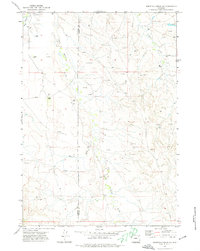
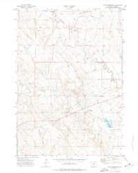
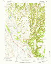
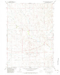
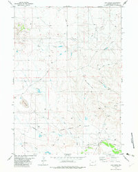
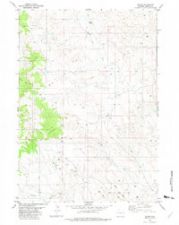
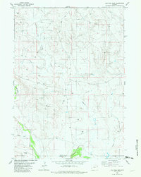
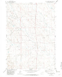
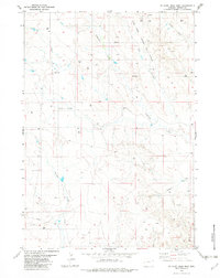
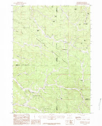
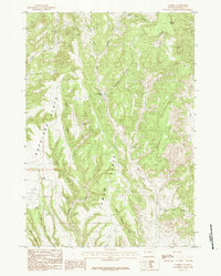
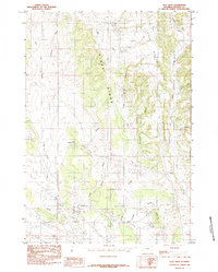
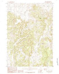
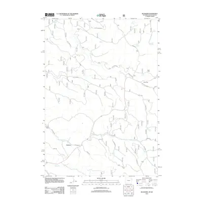
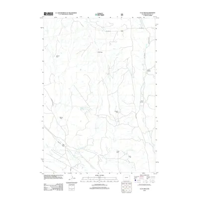
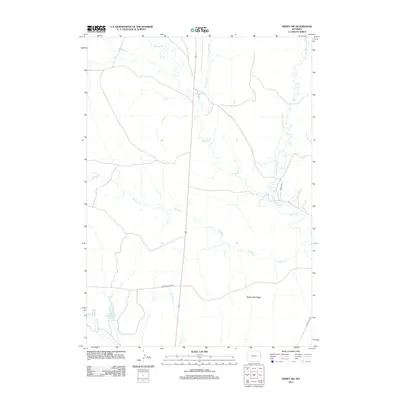
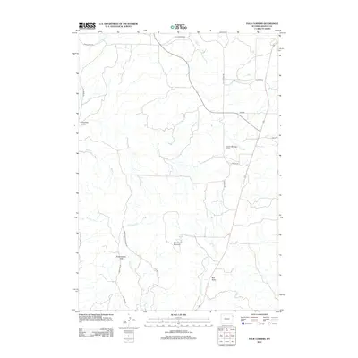
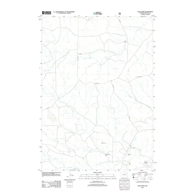
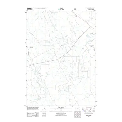
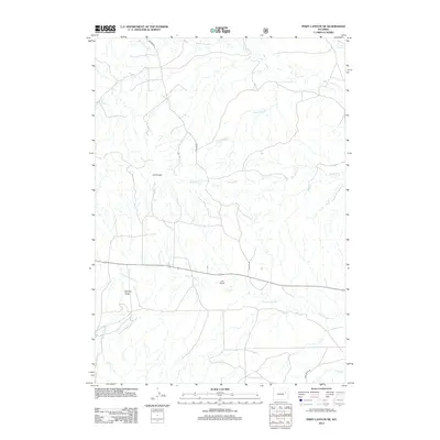
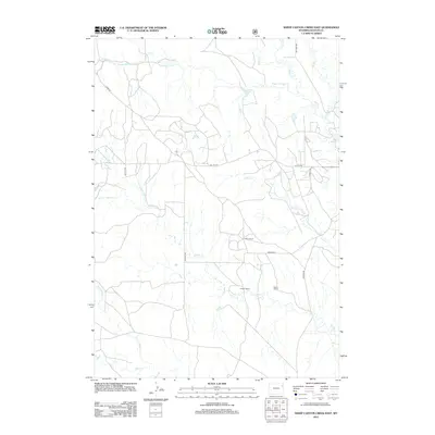
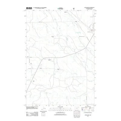
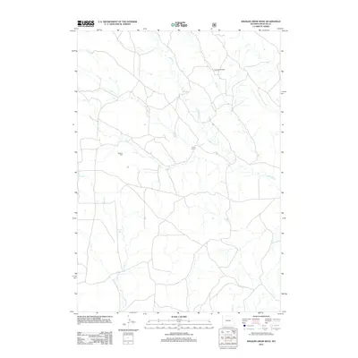
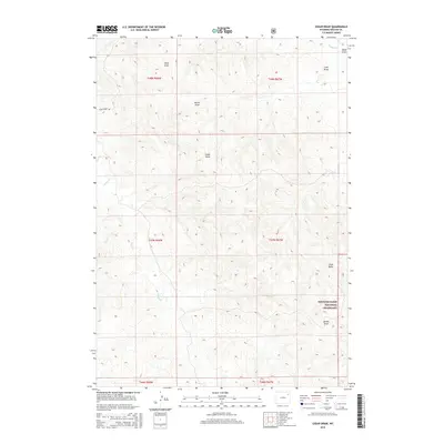
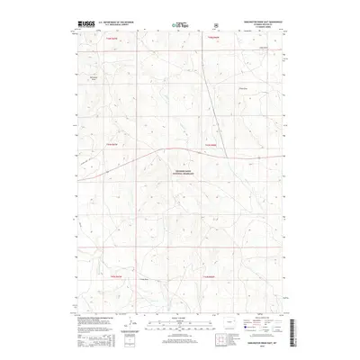
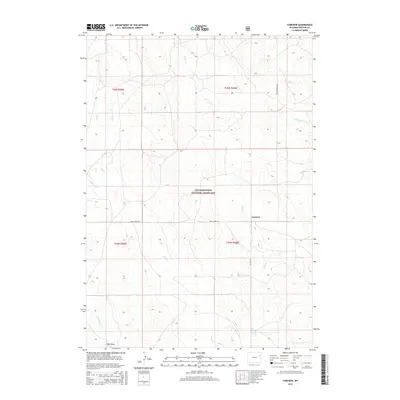
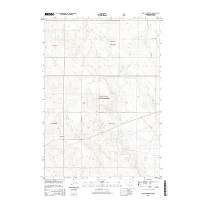
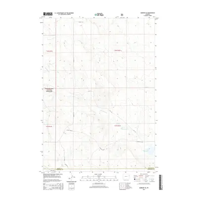
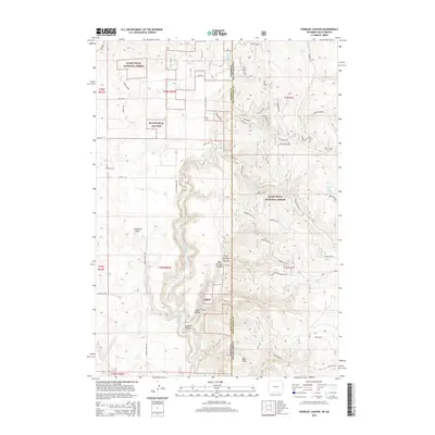
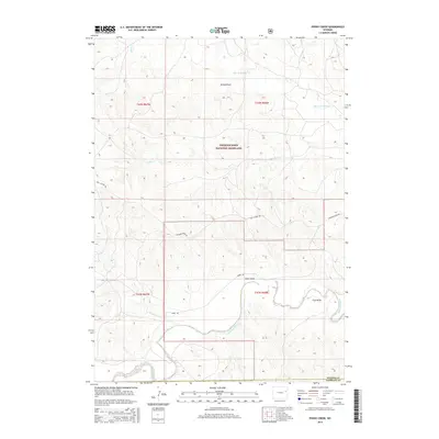
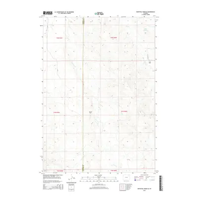
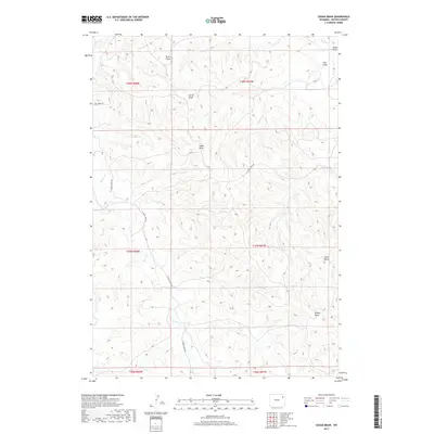
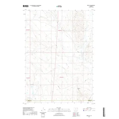
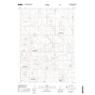
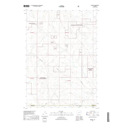
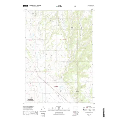
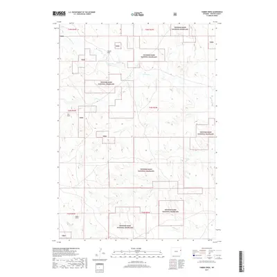
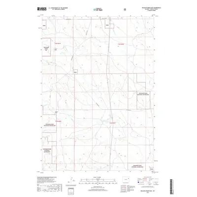
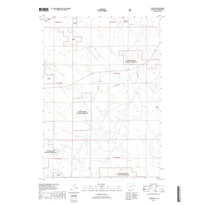
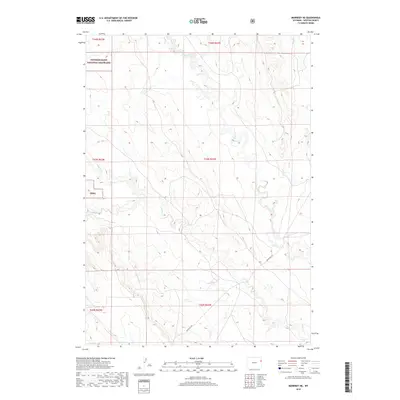
1958 Map of Inyan Kara Mountain
USGS Topo · Published 1973About this map
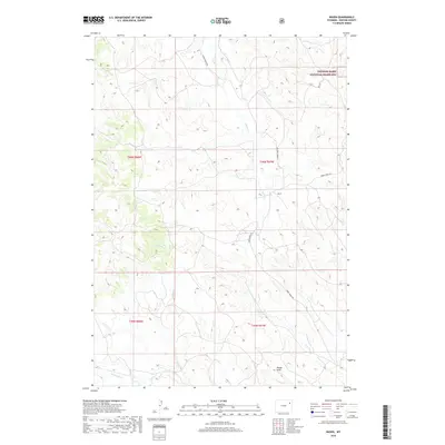
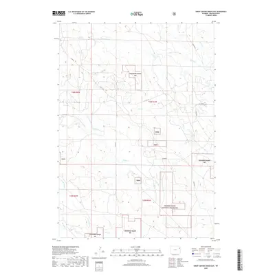
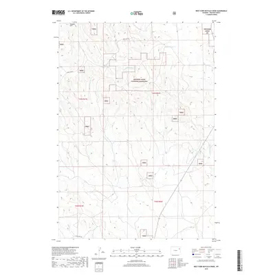
Inyan Kara Mountain dominates the northern horizon of this landscape, a prominent peak within the Black Hills National Forest along the Crook and Weston County line. The map captures a high-plains ranching and mining environment in the late 1950s, where rural education was still anchored by isolated schoolhouses like Davis Sch, Tavegia Sch, and the Douglas-Sweet Sch. A unique historical marker, Historical Graves (Two of Custers Men), sits near Inyan Kara Creek, providing a direct link to the 1874 Black Hills Expedition. To the southwest, the industrial footprint of the region is evident at the rail settlements of Clay Spur and Turner, where clay pits and gravel pits are serviced by the Chicago and North Western and Burlington and Quincy railroads. The terrain is deeply dissected by a network of drainages, including Skull Creek, Bertha Canyon, and Black Canyon, which defined the travel routes of the Old Sundance Road.
Find a feature on this map
59 named features on this map. Tap any name to fly to it.
Don’t see what you’re looking for? This feature index may not catch every label — zoom into the map to look around manually.
Map Details
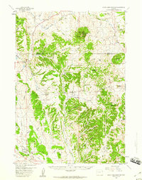
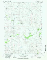
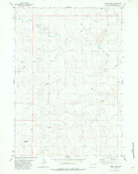
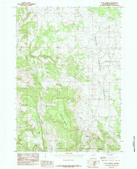
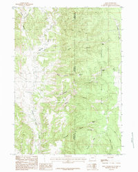
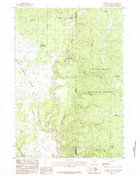
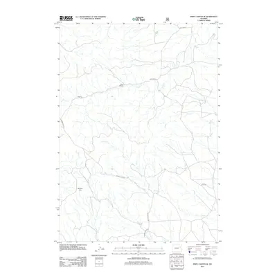
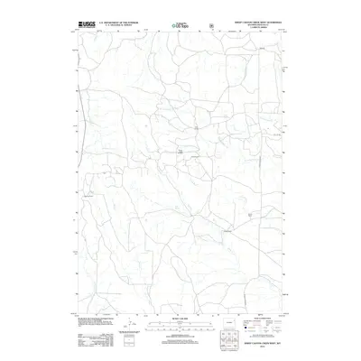
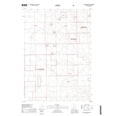
Editions of this 1958 Inyan Kara Mountain Map
3 editions found
Historical Maps of Clay Spur Through Time
213 maps found
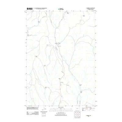
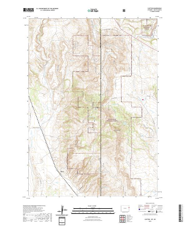
1951 Clifton
Weston County, WY
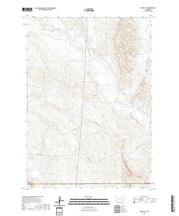
1951 Dewey SW
Weston County, WY
1951 Fanny Peak
Weston County, WY
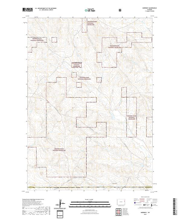
1951 Morrisey NE
Weston County, WY
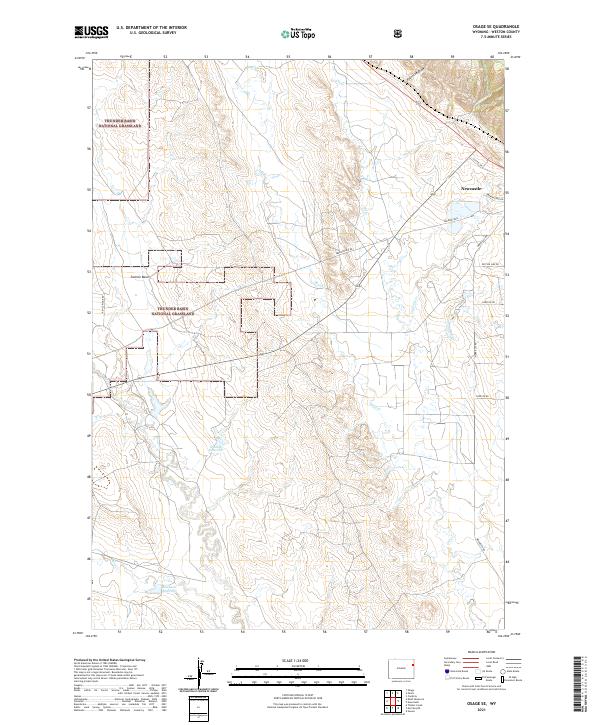
1951 Osage SE
Weston County, WY
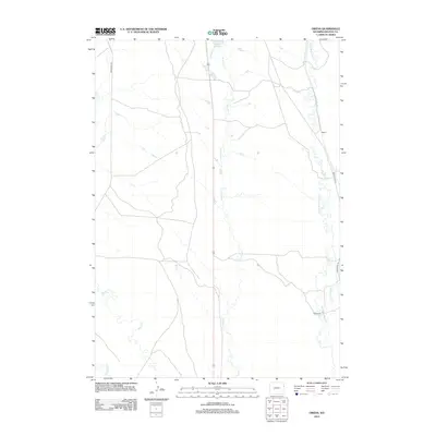
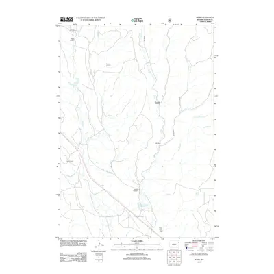
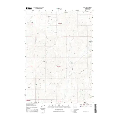
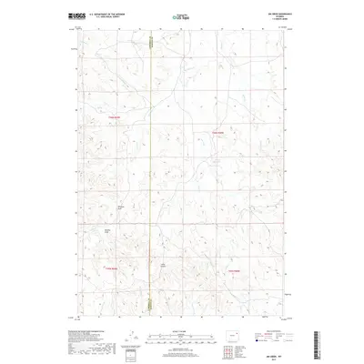
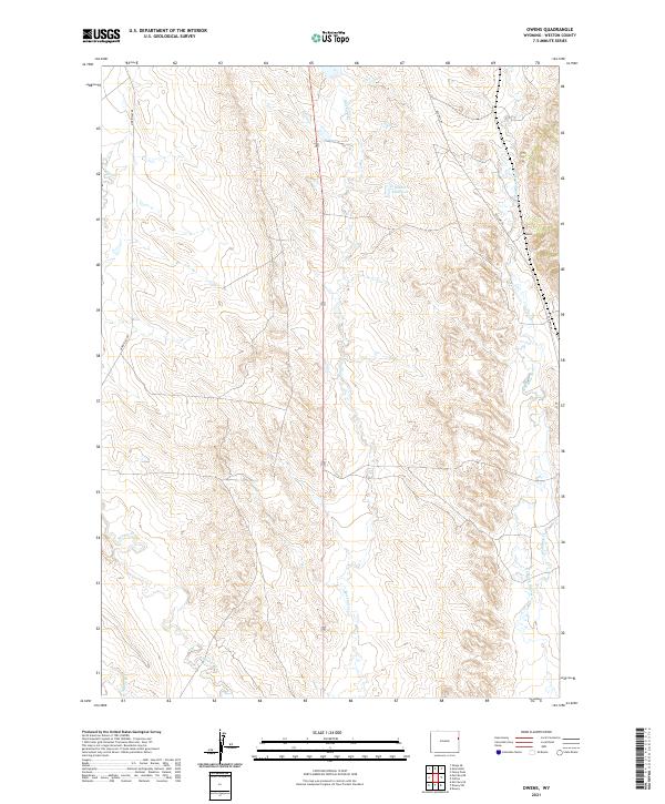
1951 Owens
Weston County, WY
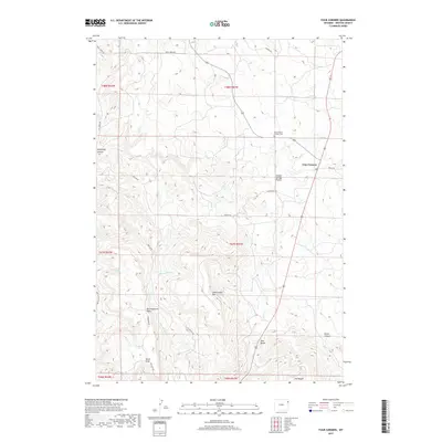
1958 Four Corners
Weston County, WY
1958 Inyan Kara Mountain
Weston County, WY
1971 Buck Creek
Weston County, WY
1971 Jim Creek
Weston County, WY
1971 Piney Canyon NE
Weston County, WY
1971 Piney Canyon SE
Weston County, WY
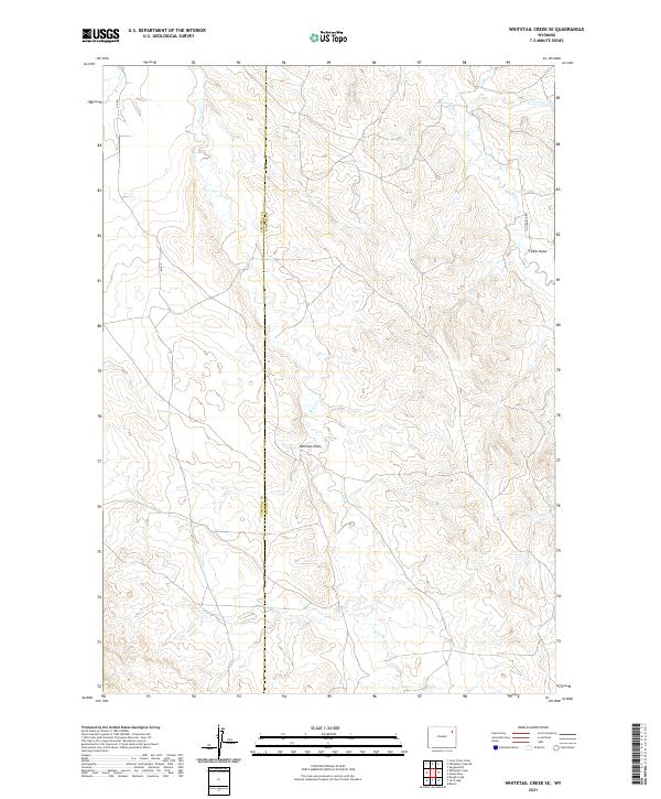
1971 Whitetail Creek SE
Weston County, WY
1972 Klodt Reservoir
Weston County, WY
1972 Pedro
Weston County, WY
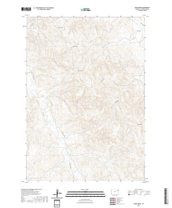
1982 Cedar Draw
Weston County, WY
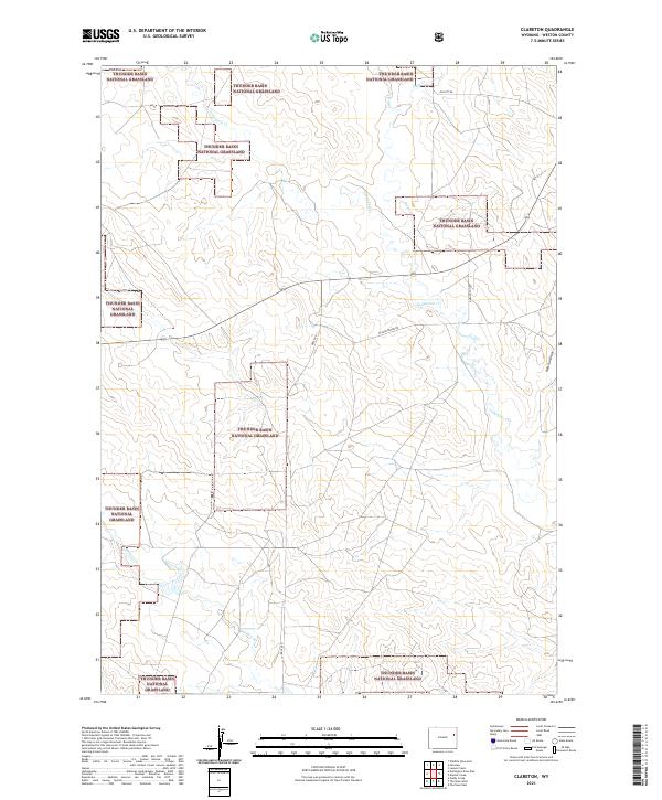
1982 Clareton
Weston County, WY
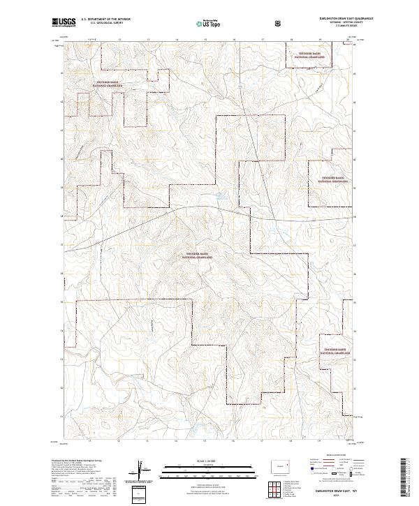
1982 Darlington Draw East
Weston County, WY
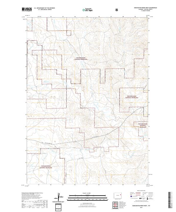
1982 Darlington Draw West
Weston County, WY
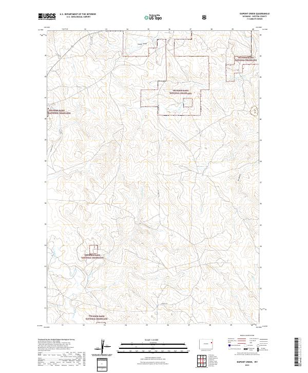
1982 Dupont Creek
Weston County, WY
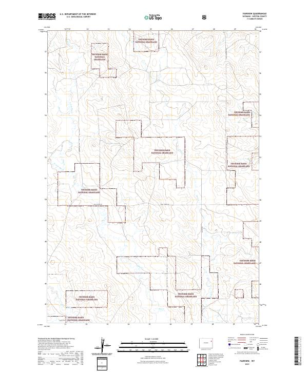
1982 Fairview
Weston County, WY
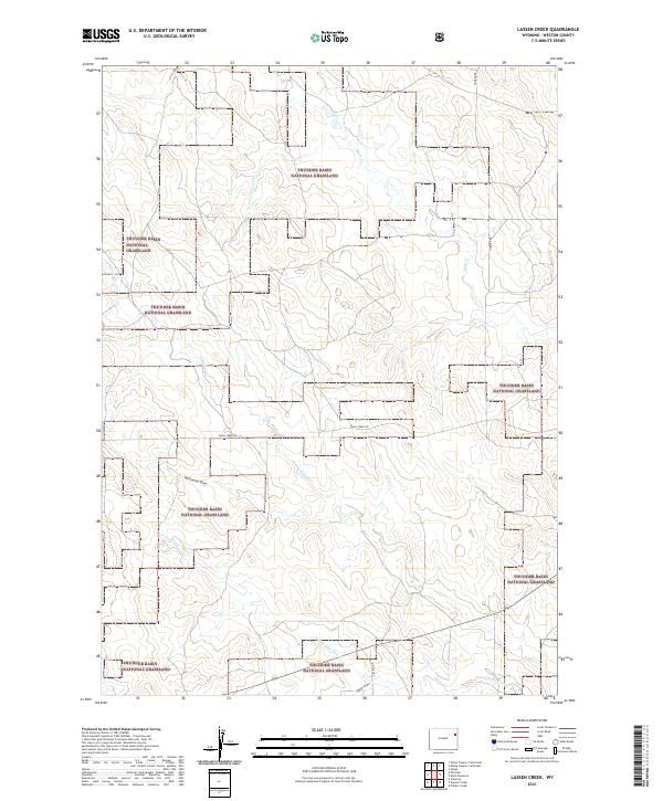
1982 Lassen Creek
Weston County, WY
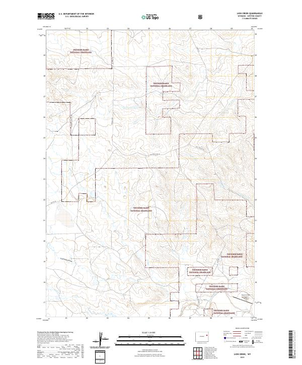
1982 Lion Creek
Weston County, WY
1982 Morrisey SE
Weston County, WY
1982 Morrisey
Weston County, WY
1982 Poddy Creek
Weston County, WY
1982 Raven
Weston County, WY
1982 Sheep Canyon Creek East
Weston County, WY
1982 Sheep Canyon Creek West
Weston County, WY
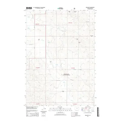
1982 Soda Butte
Weston County, WY
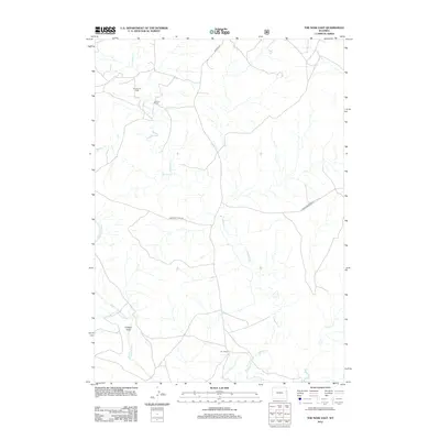
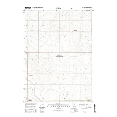
1982 The Nose East
Weston County, WY
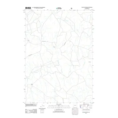
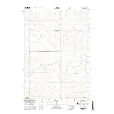
1982 The Nose West
Weston County, WY
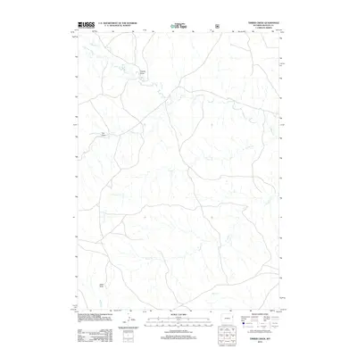
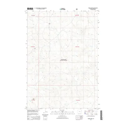
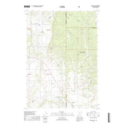
1982 Timber Creek
Weston County, WY
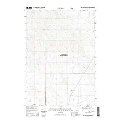
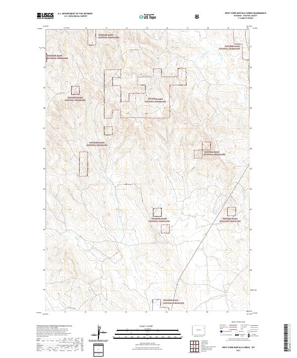
1982 West Fork Buffalo Creek
Weston County, WY
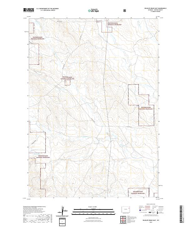
1982 Wildlife Draw East
Weston County, WY
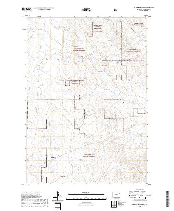
1982 Wildlife Draw West
Weston County, WY
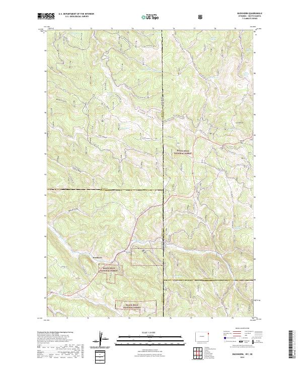
1984 Buckhorn
Weston County, WY
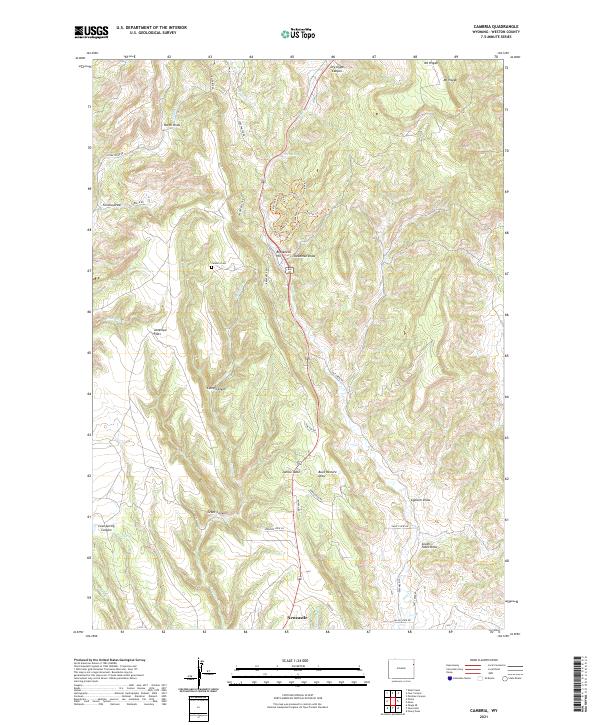
1984 Cambria
Weston County, WY
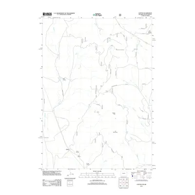
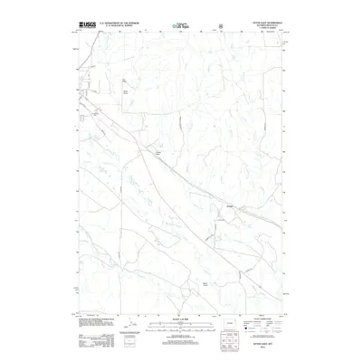
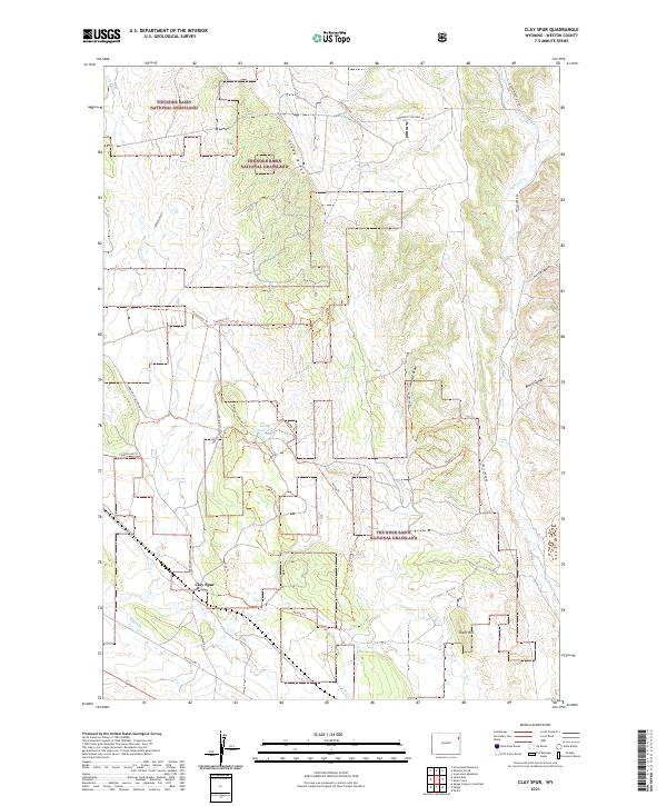
1984 Clay Spur
Weston County, WY
1984 Four Corners
Weston County, WY
1984 Moon
Weston County, WY
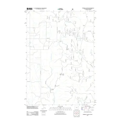
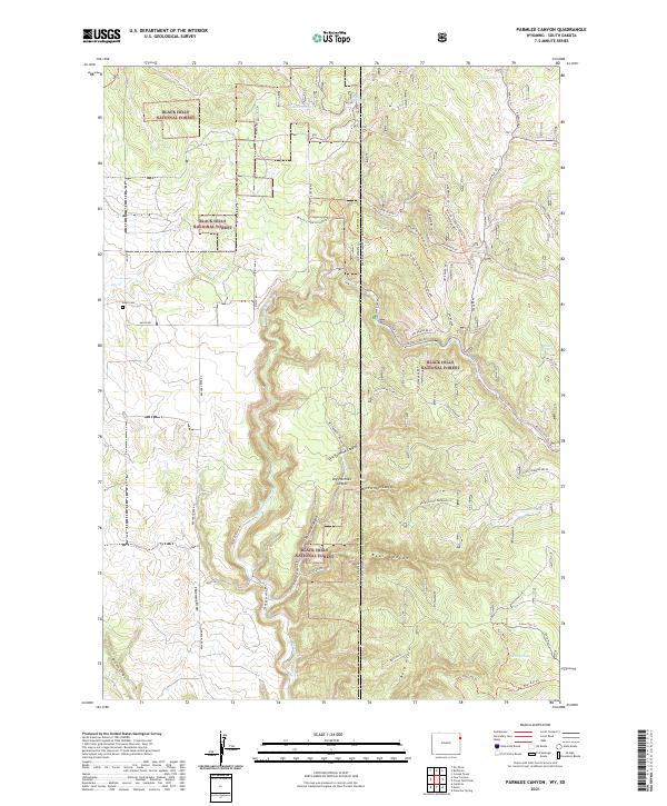
1984 Parmlee Canyon
Weston County, WY
1984 Skull Creek
Weston County, WY
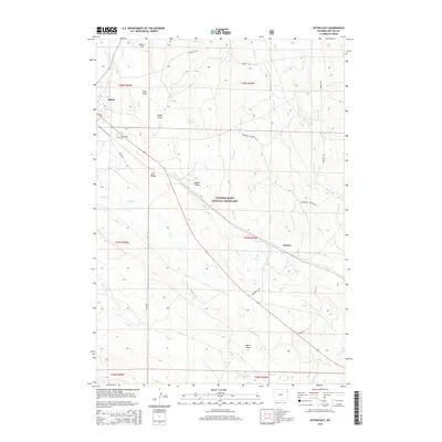
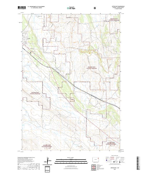
1984 Upton East
Weston County, WY
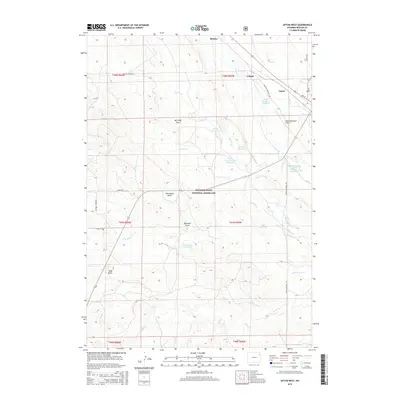
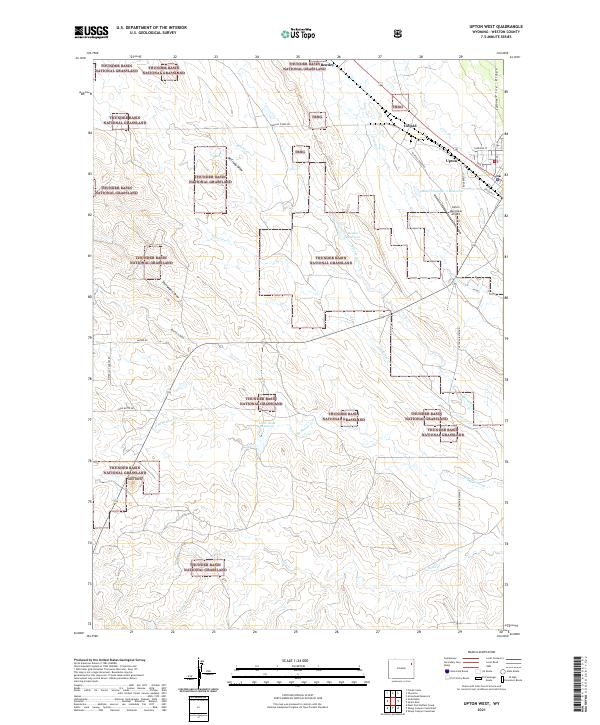
1984 Upton West
Weston County, WY
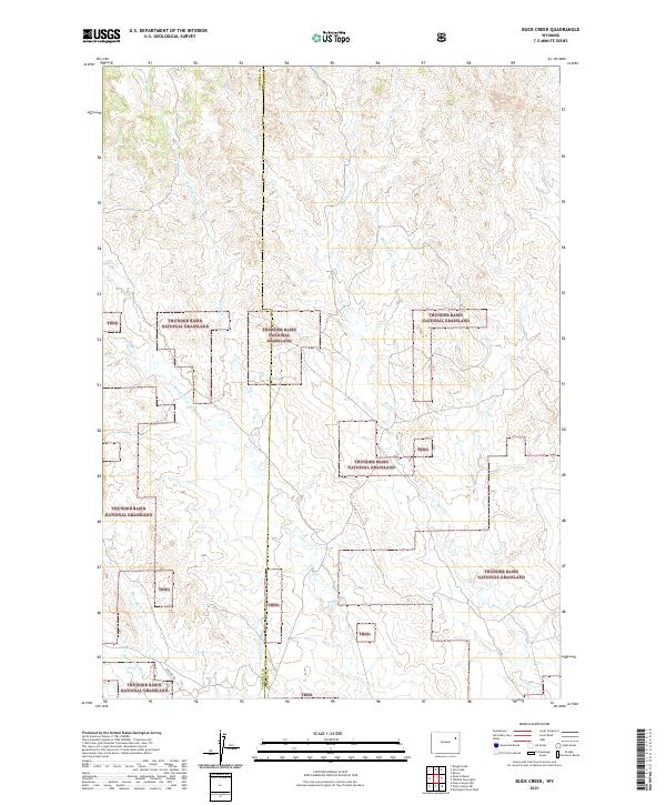
2012 Buck Creek
Weston County, WY
2012 Buckhorn
Weston County, WY
2012 Cambria
Weston County, WY
2012 Cedar Draw
Weston County, WY
2012 Clareton
Weston County, WY
2012 Clay Spur
Weston County, WY
2012 Clifton
Weston County, WY
2012 Darlington Draw East
Weston County, WY
2012 Darlington Draw West
Weston County, WY
2012 Dewey SW
Weston County, WY
2012 Dupont Creek
Weston County, WY
2012 Fairview
Weston County, WY
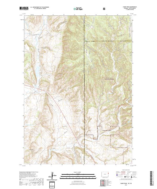
2012 Fanny Peak
Weston County, WY
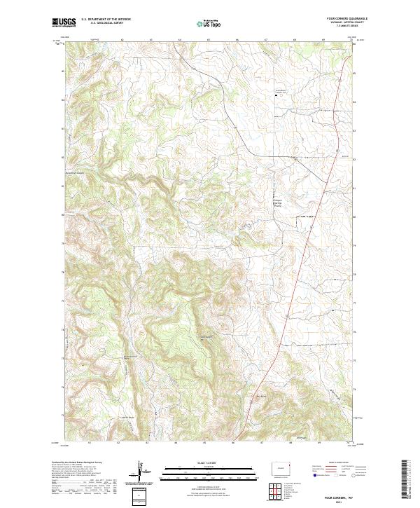
2012 Four Corners
Weston County, WY
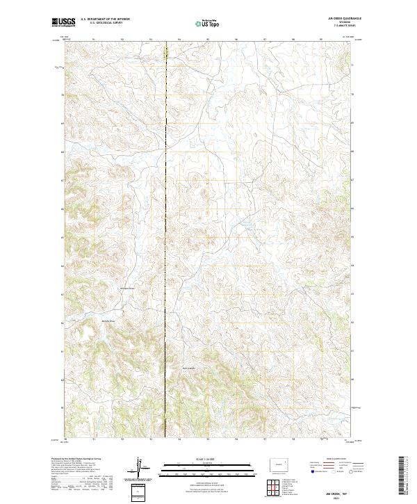
2012 Jim Creek
Weston County, WY
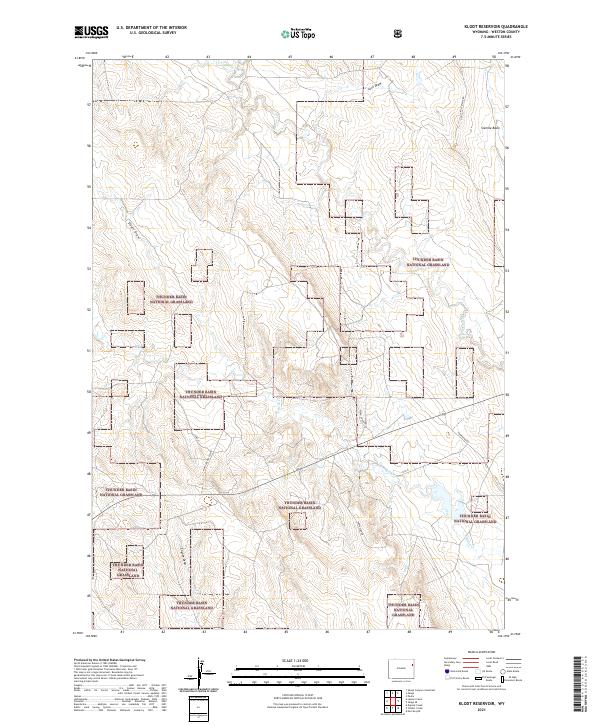
2012 Klodt Reservoir
Weston County, WY
2012 Lassen Creek
Weston County, WY
2012 Lion Creek
Weston County, WY
2012 Morrisey NE
Weston County, WY
2012 Morrisey SE
Weston County, WY
2012 Morrisey
Weston County, WY
2012 Osage SE
Weston County, WY
2012 Owens
Weston County, WY
2012 Parmlee Canyon
Weston County, WY
2012 Pedro
Weston County, WY
2012 Piney Canyon NE
Weston County, WY
2012 Piney Canyon SE
Weston County, WY
2012 Poddy Creek
Weston County, WY
2012 Raven
Weston County, WY
2012 Sheep Canyon Creek East
Weston County, WY
2012 Sheep Canyon Creek West
Weston County, WY
2012 Skull Creek
Weston County, WY
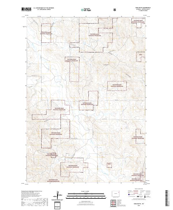
2012 Soda Butte
Weston County, WY
2012 The Nose East
Weston County, WY
2012 The Nose West
Weston County, WY
2012 Timber Creek
Weston County, WY
2012 Upton East
Weston County, WY
2012 Upton West
Weston County, WY
2012 West Fork Buffalo Creek
Weston County, WY
2012 Whitetail Creek SE
Weston County, WY
2012 Wildlife Draw East
Weston County, WY
2012 Wildlife Draw West
Weston County, WY
2015 Buck Creek
Weston County, WY
2015 Buckhorn
Weston County, WY
2015 Cambria
Weston County, WY
2015 Cedar Draw
Weston County, WY
2015 Clareton
Weston County, WY
2015 Clay Spur
Weston County, WY
2015 Clifton
Weston County, WY
2015 Darlington Draw East
Weston County, WY
2015 Darlington Draw West
Weston County, WY
2015 Dewey SW
Weston County, WY
2015 Dupont Creek
Weston County, WY
2015 Fairview
Weston County, WY
2015 Fanny Peak
Weston County, WY
2015 Four Corners
Weston County, WY
2015 Jim Creek
Weston County, WY
2015 Klodt Reservoir
Weston County, WY
2015 Lassen Creek
Weston County, WY
2015 Lion Creek
Weston County, WY
2015 Morrisey NE
Weston County, WY
2015 Morrisey SE
Weston County, WY
2015 Morrisey
Weston County, WY
2015 Osage SE
Weston County, WY
2015 Owens
Weston County, WY
2015 Parmlee Canyon
Weston County, WY
2015 Pedro
Weston County, WY
2015 Piney Canyon NE
Weston County, WY
2015 Piney Canyon SE
Weston County, WY
2015 Poddy Creek
Weston County, WY
2015 Raven
Weston County, WY
2015 Sheep Canyon Creek East
Weston County, WY
2015 Sheep Canyon Creek West
Weston County, WY
2015 Skull Creek
Weston County, WY
2015 Soda Butte
Weston County, WY
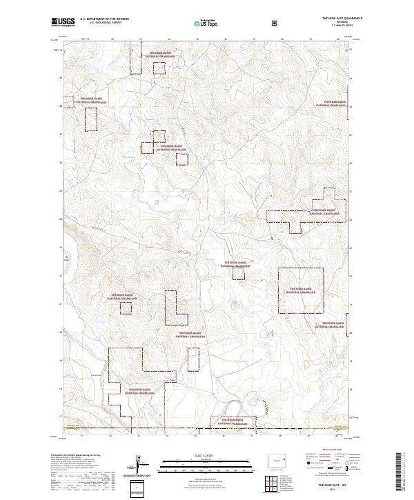
2015 The Nose East
Weston County, WY
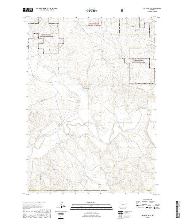
2015 The Nose West
Weston County, WY
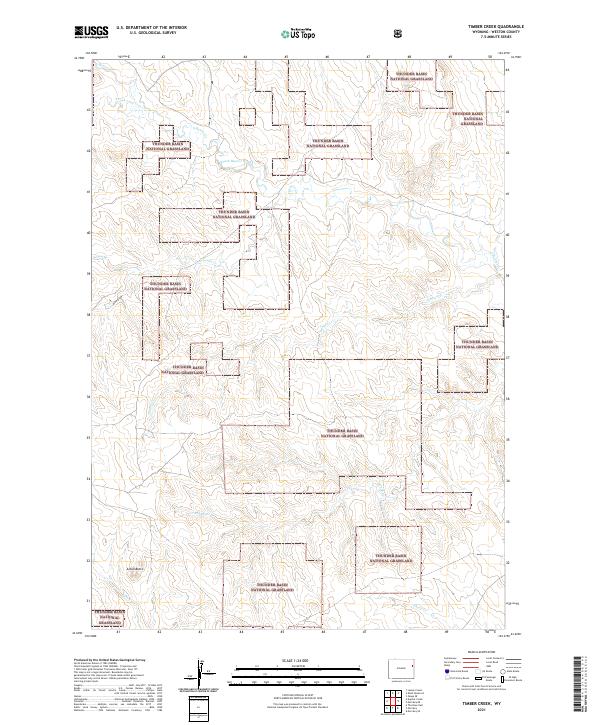
2015 Timber Creek
Weston County, WY
2015 Upton East
Weston County, WY
2015 Upton West
Weston County, WY
2015 West Fork Buffalo Creek
Weston County, WY
2015 Whitetail Creek SE
Weston County, WY
2015 Wildlife Draw East
Weston County, WY
2015 Wildlife Draw West
Weston County, WY
2017 Buckhorn
Weston County, WY
2017 Cedar Draw
Weston County, WY
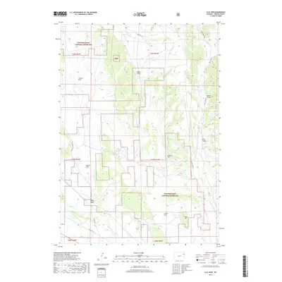
2017 Clay Spur
Weston County, WY
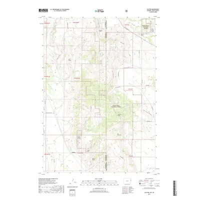
2017 Clifton
Weston County, WY
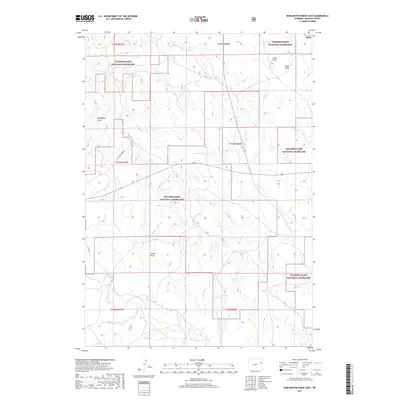
2017 Darlington Draw East
Weston County, WY
2017 Dewey SW
Weston County, WY
2017 Fanny Peak
Weston County, WY
2017 Four Corners
Weston County, WY
2017 Jim Creek
Weston County, WY
2017 Klodt Reservoir
Weston County, WY
2017 Lassen Creek
Weston County, WY
2017 Lion Creek
Weston County, WY
2017 Morrisey SE
Weston County, WY
2017 Morrisey
Weston County, WY
2017 Osage SE
Weston County, WY
2017 Owens
Weston County, WY
2017 Parmlee Canyon
Weston County, WY
2017 Pedro
Weston County, WY
2017 Piney Canyon NE
Weston County, WY
2017 Poddy Creek
Weston County, WY
2017 Sheep Canyon Creek West
Weston County, WY
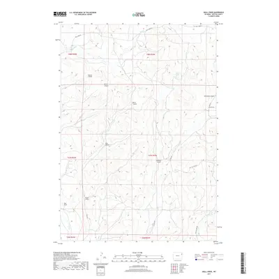
2017 Skull Creek
Weston County, WY
2017 Soda Butte
Weston County, WY
2017 The Nose East
Weston County, WY
2017 The Nose West
Weston County, WY
2017 Timber Creek
Weston County, WY
2017 Upton East
Weston County, WY
2017 Upton West
Weston County, WY
2017 Whitetail Creek SE
Weston County, WY
2017 Wildlife Draw East
Weston County, WY
2017 Wildlife Draw West
Weston County, WY
2018 Buck Creek
Weston County, WY
2018 Cambria
Weston County, WY
2018 Clareton
Weston County, WY
2018 Darlington Draw West
Weston County, WY
2018 Dupont Creek
Weston County, WY
2018 Fairview
Weston County, WY
2018 Morrisey NE
Weston County, WY

2018 Piney Canyon SE
Weston County, WY
2018 Raven
Weston County, WY
2018 Sheep Canyon Creek East
Weston County, WY
2018 West Fork Buffalo Creek
Weston County, WY
2021 Buck Creek
Weston County, WY
2021 Buckhorn
Weston County, WY
2021 Cambria
Weston County, WY
2021 Cedar Draw
Weston County, WY
2021 Clareton
Weston County, WY
2021 Clay Spur
Weston County, WY
2021 Clifton
Weston County, WY
2021 Darlington Draw East
Weston County, WY
2021 Darlington Draw West
Weston County, WY
2021 Dewey SW
Weston County, WY
2021 Dupont Creek
Weston County, WY
2021 Fairview
Weston County, WY
2021 Fanny Peak
Weston County, WY
2021 Four Corners
Weston County, WY
2021 Jim Creek
Weston County, WY
2021 Klodt Reservoir
Weston County, WY
2021 Lassen Creek
Weston County, WY
2021 Lion Creek
Weston County, WY
2021 Morrisey NE
Weston County, WY
2021 Morrisey SE
Weston County, WY
2021 Morrisey
Weston County, WY
2021 Osage SE
Weston County, WY
2021 Owens
Weston County, WY
2021 Parmlee Canyon
Weston County, WY
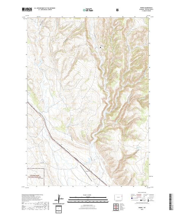
2021 Pedro
Weston County, WY
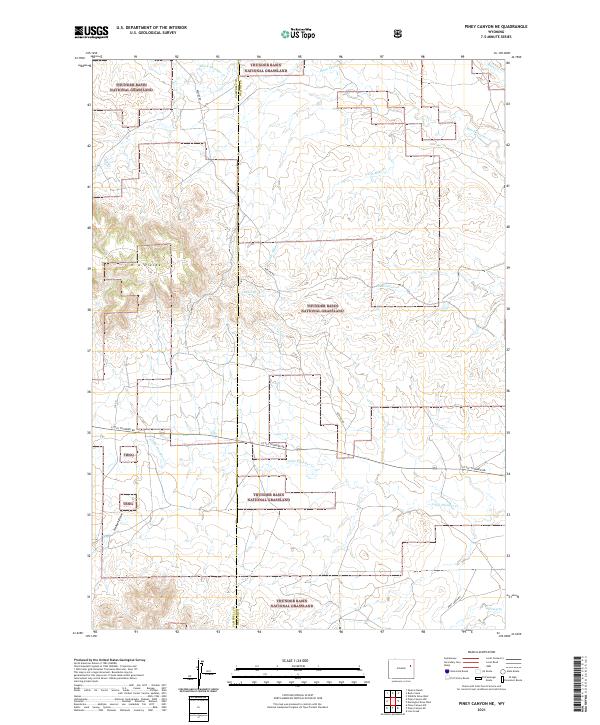
2021 Piney Canyon NE
Weston County, WY
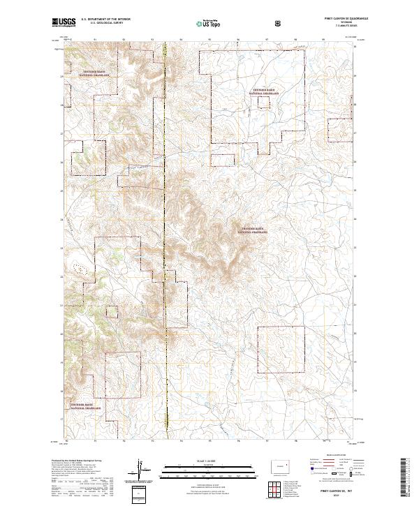
2021 Piney Canyon SE
Weston County, WY
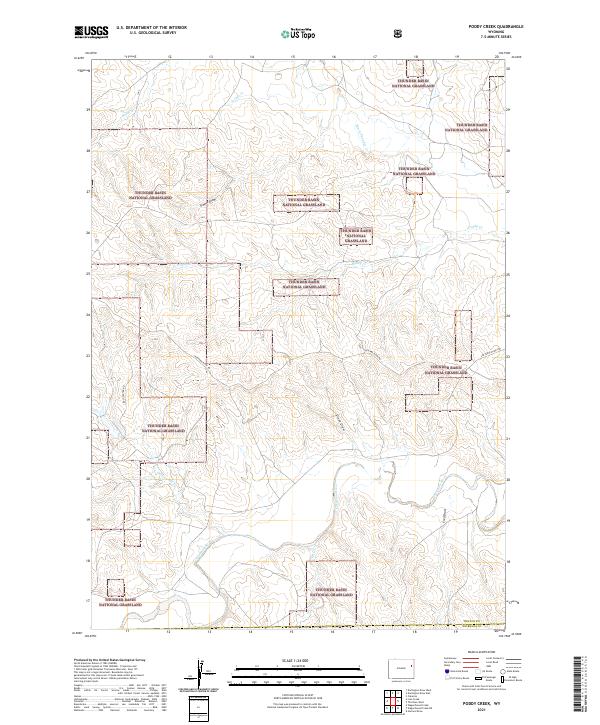
2021 Poddy Creek
Weston County, WY
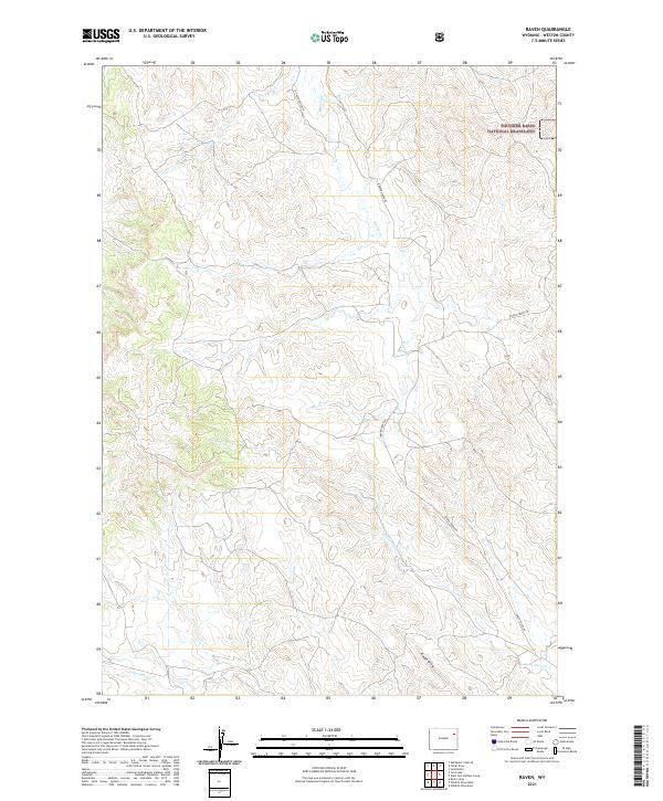
2021 Raven
Weston County, WY
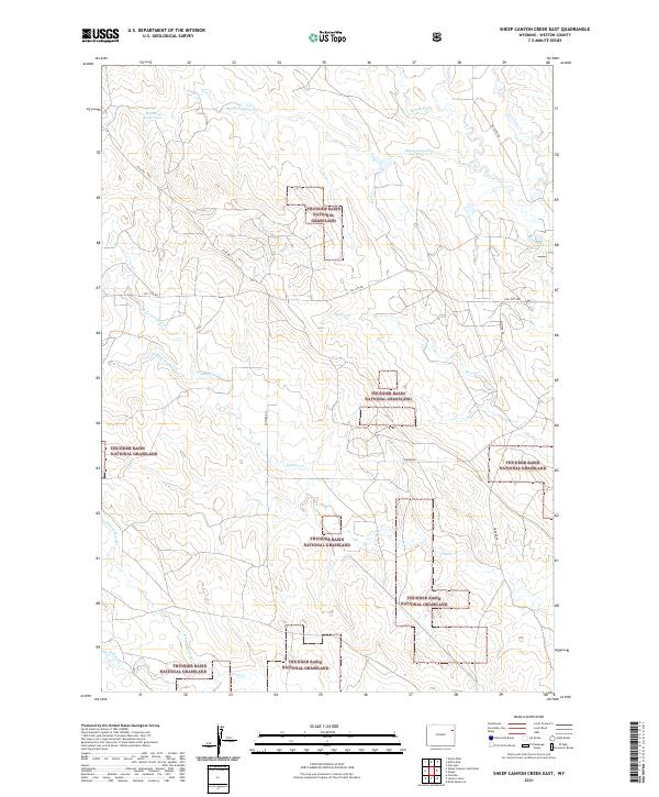
2021 Sheep Canyon Creek East
Weston County, WY
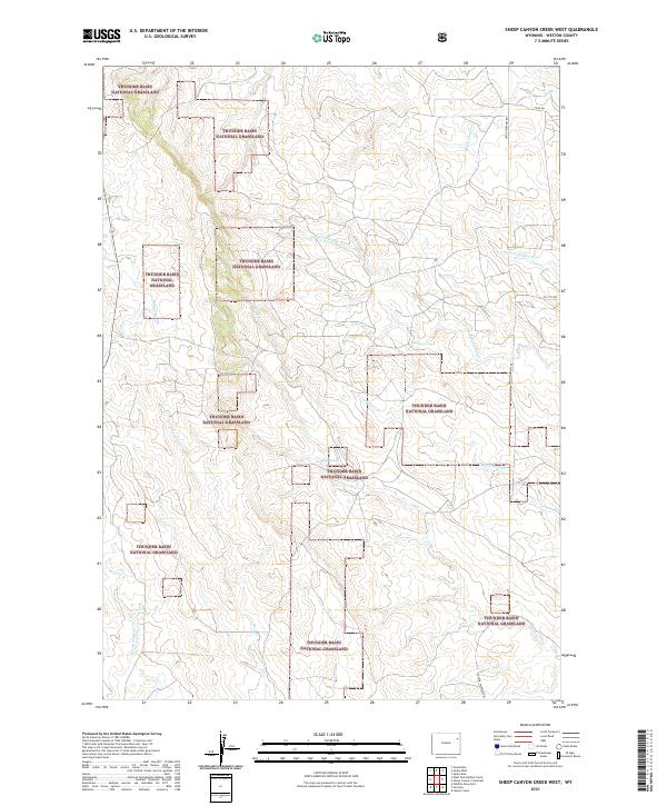
2021 Sheep Canyon Creek West
Weston County, WY
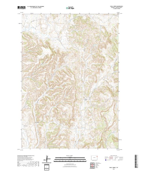
2021 Skull Creek
Weston County, WY
2021 Soda Butte
Weston County, WY
2021 The Nose East
Weston County, WY
2021 The Nose West
Weston County, WY
2021 Timber Creek
Weston County, WY
2021 Upton East
Weston County, WY
2021 Upton West
Weston County, WY
2021 West Fork Buffalo Creek
Weston County, WY
2021 Whitetail Creek SE
Weston County, WY
2021 Wildlife Draw East
Weston County, WY
2021 Wildlife Draw West
Weston County, WY