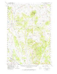
1958 Map of Inyan Kara Mountain
USGS Topo · Published 1978About this map
Historical Graves (Two of Custers Men) mark a poignant point of interest along Soldier Creek in this Wyoming landscape during the late 1950s. The survey captures a region defined by its transition from the Black Hills National Forest high ground, including the prominent Inyan Kara Mountain, down into the industrial drainages to the southwest. Along the Chicago Burlington and Quincy railroad line, the map documents the extraction economy of the era with numerous Clay Pits and Oil Wells concentrated near Clay Spur and Turner.
Find a feature on this map
62 named features on this map. Tap any name to fly to it.
Don’t see what you’re looking for? This feature index may not catch every label — zoom into the map to look around manually.
Map Details
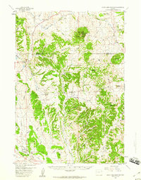
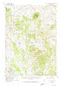
Editions of this 1958 Inyan Kara Mountain Map
3 editions found
Other maps of this area

1898 · Sundance
USGS Topo · 1:125,000

1899 · Newcastle
USGS Topo · 1:125,000

1901 · Newcastle
USGS Topo · 1:125,000

1902 · Sundance
USGS Topo · 1:125,000

1918 · Moorcroft
USGS Topo · 1:125,000

1954 · Gillette
USGS Topo · 1:250,000

1955 · Newcastle
USGS Topo · 1:250,000

1955 · Gillette
USGS Topo · 1:250,000

1957 · Nefsy Divide
USGS Topo · 1:62,500

1957 · Upton
USGS Topo · 1:62,500