Loading...
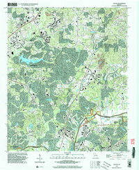
Loading map...1956 Map of Duluth
USGS Topo · Published 1968About this map
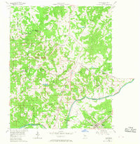
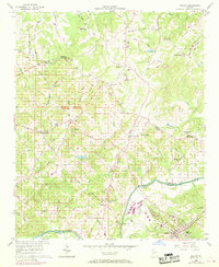
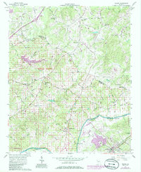
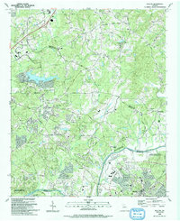
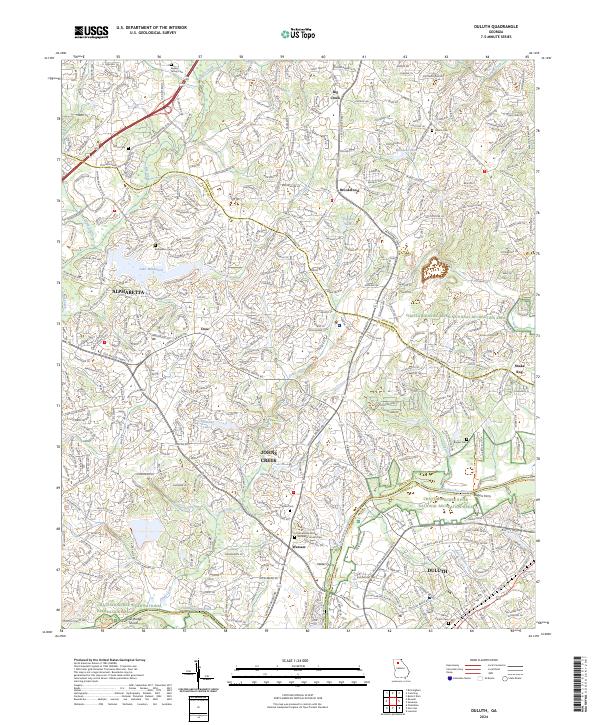
The Chattahoochee River forms a defining boundary between Fulton and Gwinnett counties, anchored by the railroad town of Duluth. This mid-century landscape is a network of small agricultural settlements and family-named landmarks connected by a dense web of rural roads. To the west, the community of Warsaw sits near the river crossing, supported by the Macedonia Ch and Warsaw Cem. Further north, smaller crossroads like Brookwood and Occee are delineated alongside numerous creeks, including Big Creek and Caney Creek.
Find a feature on this map
58 named features on this map. Tap any name to fly to it.
Don’t see what you’re looking for? This feature index may not catch every label — zoom into the map to look around manually.
Map Details
Date Portrayed1956
Date Published1968
PublisherU.S. Geological Survey
Map TypeTopographic
Scale1:24,000
Physical Dimensions26.1 x 26.8 inches
Editions of this 1956 Duluth Map
4 editions found

Historical Maps of Johns Creek Through Time
8 maps found

Featured Locations
Source Details
SourceU.S. Geological Survey
CopyrightPublic Domain