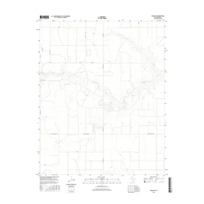
2016 Map of Dumas NE
USGS Topo · Published 2016About this map
The winding course of S Palo Duro Cr carves a distinct path through the plains of Moore County, creating a localized drainage system that stands in contrast to the surrounding agricultural grid. This portion of the Texas Panhandle is defined by a rigorous network of section-line roads and specialized routes such as Texas Beef Rd and Morton Elevator Rd, which underscore the region's agricultural and industrial focus. The presence of Griffin Estate Lake Number 1 and various irrigation-related features suggests a landscape heavily modified for water management. Transportation is facilitated by a mix of state and local routes, including Fm 119 and Light Plant Rd, which connect the open country to nearby municipal centers.
Find a feature on this map
15 named features on this map. Tap any name to fly to it.
Don’t see what you’re looking for? This feature index may not catch every label — zoom into the map to look around manually.
Map Details
Editions of this 2016 Dumas NE Map
This is the sole edition of this map. No revisions or reprints were ever made.
Other maps of this area

1954 · Perryton
USGS Topo · 1:250,000

1954 · Amarillo
USGS Topo · 1:250,000

1958 · Perryton
USGS Topo · 1:250,000

1958 · Amarillo
USGS Topo · 1:250,000

1963 · Cactus East
USGS Topo · 1:24,000

1965 · Dumas South
USGS Topo · 1:24,000
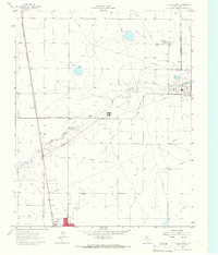
1965 · Dumas North
USGS Topo · 1:24,000
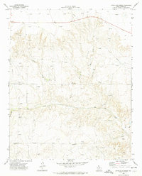
1972 · Little Blue Creek
USGS Topo · 1:24,000

1972 · Dumas NE
USGS Topo · 1:24,000
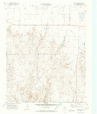
1972 · Pollard Creek
USGS Topo · 1:24,000