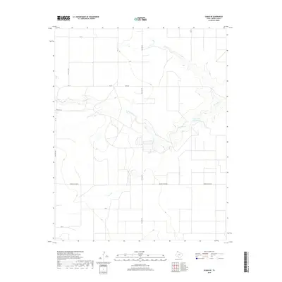
2019 Map of Dumas NE
USGS Topo · Published 2019About this map
S Palo Duro Cr cuts a distinct winding path through this portion of the Texas Panhandle, creating a localized drainage system that breaks the surrounding high plains. The landscape is primarily defined by large-scale agricultural and industrial land use, marked by a systematic grid of ranch and utility roads. Water management is central to the area's utility, evidenced by the Griffin Estate Lake Number 1 and various impoundments along the creek bed. Transportation and commerce are facilitated by a network of secondary routes including Fm 119, Morton Elevator Rd, and Texas Beef Rd, which likely support the region's cattle and grain industries. The intersection of named thoroughfares like Maxus Rd and Light Plant Rd indicates a geography shaped by energy and agricultural infrastructure, typical of Moore County's modern development.
Find a feature on this map
14 named features on this map. Tap any name to fly to it.
Don’t see what you’re looking for? This feature index may not catch every label — zoom into the map to look around manually.
Map Details
Editions of this 2019 Dumas NE Map
This is the sole edition of this map. No revisions or reprints were ever made.
Other maps of this area

1954 · Perryton
USGS Topo · 1:250,000

1954 · Amarillo
USGS Topo · 1:250,000

1958 · Perryton
USGS Topo · 1:250,000

1958 · Amarillo
USGS Topo · 1:250,000

1963 · Cactus East
USGS Topo · 1:24,000

1965 · Dumas South
USGS Topo · 1:24,000
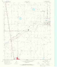
1965 · Dumas North
USGS Topo · 1:24,000
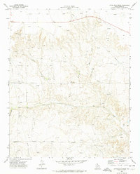
1972 · Little Blue Creek
USGS Topo · 1:24,000

1972 · Dumas NE
USGS Topo · 1:24,000
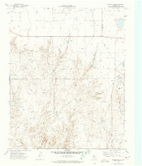
1972 · Pollard Creek
USGS Topo · 1:24,000