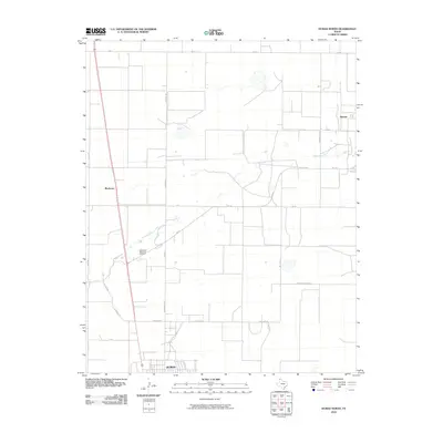
2010 Map of Dumas North
USGS Topo · Published 2010About this map
Dumas serves as the focal point for this Moore County landscape, situated where the northern residential and industrial margins meet the wide agricultural expanse of the Texas Panhandle. The area is defined by a rigid grid of rural routes, including Road E and Miles Rd, which segment the terrain into large production plots. Natural drainage is dictated by the wandering course of South Palo Duro Creek, which cuts diagonally across the western sections of the map.
Find a feature on this map
21 named features on this map. Tap any name to fly to it.
Don’t see what you’re looking for? This feature index may not catch every label — zoom into the map to look around manually.
Map Details
Editions of this 2010 Dumas North Map
This is the sole edition of this map. No revisions or reprints were ever made.
Other maps of this area

1954 · Tucumcari
USGS Topo · 1:250,000

1954 · Perryton
USGS Topo · 1:250,000

1954 · Amarillo
USGS Topo · 1:250,000

1954 · Dalhart
USGS Topo · 1:250,000

1958 · Perryton
USGS Topo · 1:250,000

1958 · Amarillo
USGS Topo · 1:250,000

1958 · Tucumcari
USGS Topo · 1:250,000

1958 · Dalhart
USGS Topo · 1:250,000

1962 · Dalhart
USGS Topo · 1:250,000

1963 · Cactus East
USGS Topo · 1:24,000