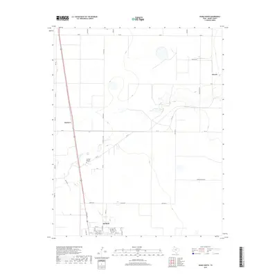
2019 Map of Dumas North
USGS Topo · Published 2019About this map
Dumas anchor the southern edge of this Moore County landscape, where the High Plains terrain is etched by the meandering course of S Palo Duro Cr. The map captures a transition from the urban grid of northern Dumas, featuring streets like N Dumas Ave and N Birge Ave, to the expansive agricultural and industrial lands to the north. Smaller named locales such as Machovec and Sheerin stand as points of interest along the established road network, while the presence of Northlawn Memorial Gardens provides a significant touchstone for local genealogy.
Find a feature on this map
45 named features on this map. Tap any name to fly to it.
Don’t see what you’re looking for? This feature index may not catch every label — zoom into the map to look around manually.
Map Details
Editions of this 2019 Dumas North Map
This is the sole edition of this map. No revisions or reprints were ever made.
Other maps of this area

1954 · Tucumcari
USGS Topo · 1:250,000

1954 · Perryton
USGS Topo · 1:250,000

1954 · Amarillo
USGS Topo · 1:250,000

1954 · Dalhart
USGS Topo · 1:250,000

1958 · Perryton
USGS Topo · 1:250,000

1958 · Amarillo
USGS Topo · 1:250,000

1958 · Tucumcari
USGS Topo · 1:250,000

1958 · Dalhart
USGS Topo · 1:250,000

1962 · Dalhart
USGS Topo · 1:250,000

1963 · Cactus East
USGS Topo · 1:24,000