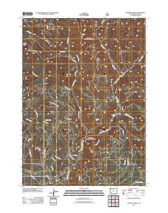
2011 Map of Dumont Creek
USGS Topo · Published 2011About this map
The South Umpqua River winds through this Douglas County landscape, serving as the primary drainage for a complex network of high ridges and narrow creek valleys. Significant topographic landmarks like Smith Ridge, Boulder Rock, and Clayton Point define the local relief, while Hob Knob stands out as a distinct peak. The map documents an extensive system of forest access routes and trails, including Smith Ridge Rd, Johnnie Springs Rd, and the Boulder Creek Rd, reflecting the area's history of timber management and recreation.
Find a feature on this map
36 named features on this map. Tap any name to fly to it.
Don’t see what you’re looking for? This feature index may not catch every label — zoom into the map to look around manually.
Map Details
Editions of this 2011 Dumont Creek Map
This is the sole edition of this map. No revisions or reprints were ever made.
Other maps of this area

1891 · Ashland
USGS Topo · 1:250,000

1893 · Ashland
USGS Topo · 1:250,000

1897 · Ashland
USGS Topo · 1:250,000

1944 · Tiller
USGS Topo · 1:62,500

1944 · Abbott Butte
USGS Topo · 1:62,500

1947 · Abbott Butte
USGS Topo · 1:62,500

1955 · Quartz Mtn
USGS Topo · 1:62,500

1955 · Red Butte
USGS Topo · 1:62,500

1955 · Medford
USGS Topo · 1:250,000

1957 · Medford
USGS Topo · 1:250,000