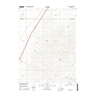
2014 Map of Dun Glen Peak
USGS Topo · Published 2014About this map
The East Range dominates this portion of the Great Basin, where the high point at Dun Glen Peak overlooks a landscape defined by deep drainage systems and vital desert water sources. In the southeast, the evocatively named Auld Lang Syne Gulch and Dun Glen Canyon emphasize the area's prospecting history, with Auburn Mine Rd providing access to the rugged interior. These geographic markers trace the path of early miners and ranchers who relied on the scattered springs that punctuate the arid terrain.
Find a feature on this map
37 named features on this map. Tap any name to fly to it.
Don’t see what you’re looking for? This feature index may not catch every label — zoom into the map to look around manually.
Map Details
Editions of this 2014 Dun Glen Peak Map
This is the sole edition of this map. No revisions or reprints were ever made.
Other maps of this area

1931 · Lovelock
USGS Topo · 1:250,000

1932 · Sonoma Range
USGS Topo · 1:250,000

1935 · Lovelock
USGS Topo · 1:250,000

1939 · Sonoma Range
USGS Topo · 1:250,000

1939 · Eugene Mountains Area
USGS Topo · 1:62,500

1942 · Eugene Mountains Area
USGS Topo · 1:62,500

1955 · Lovelock
USGS Topo · 1:250,000

1955 · Winnemucca
USGS Topo · 1:250,000

1956 · Imlay
USGS Topo · 1:62,500

1958 · Winnemucca
USGS Topo · 1:250,000