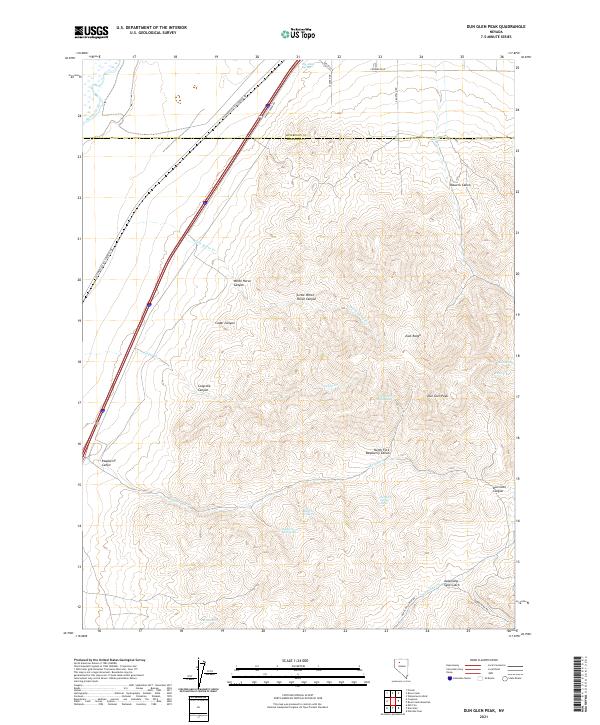
2021 Map of Dun Glen Peak
USGS Topo · Published 2021About this map
Dun Glen Peak towers over the East Range in this high-desert landscape spanning the Humboldt Co and Pershing Co line. The terrain is defined by a series of dramatic canyons and gulches, including Osburns Cañon and the whimsically named Auld Lang Syne Gulch. These features represent a landscape carved by seasonal water, supported by several vital water sources such as Big Alkali Spring, Amos Spring, and the various branches of Raspberry Cr.
Find a feature on this map
39 named features on this map. Tap any name to fly to it.
Don’t see what you’re looking for? This feature index may not catch every label — zoom into the map to look around manually.
Map Details
Editions of this 2021 Dun Glen Peak Map
This is the sole edition of this map. No revisions or reprints were ever made.
Other maps of this area

1931 · Lovelock
USGS Topo · 1:250,000

1932 · Sonoma Range
USGS Topo · 1:250,000

1935 · Lovelock
USGS Topo · 1:250,000

1939 · Sonoma Range
USGS Topo · 1:250,000

1939 · Eugene Mountains Area
USGS Topo · 1:62,500

1942 · Eugene Mountains Area
USGS Topo · 1:62,500

1955 · Lovelock
USGS Topo · 1:250,000

1955 · Winnemucca
USGS Topo · 1:250,000

1956 · Imlay
USGS Topo · 1:62,500

1958 · Winnemucca
USGS Topo · 1:250,000