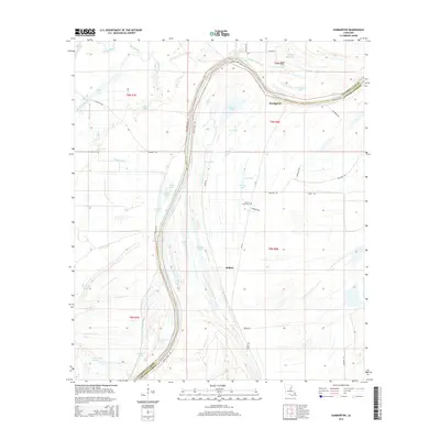
2015 Map of Dunbarton
USGS Topo · Published 2015About this map
Dunbarton and the nearby community of Ballina sit within a landscape defined by the intricate hydrology of the Lower Mississippi Valley. This area, straddling the border of Catahoula and Concordia Parishes, is dominated by the winding course of the Tensas River and an extensive network of oxbow lakes and bayous. Significant water bodies such as Sunflower Lake, Swazee Lake, and Knockanat Lake illustrate the historical movements of river channels through these wetlands.
Find a feature on this map
51 named features on this map. Tap any name to fly to it.
Don’t see what you’re looking for? This feature index may not catch every label — zoom into the map to look around manually.
Map Details
Editions of this 2015 Dunbarton Map
This is the sole edition of this map. No revisions or reprints were ever made.
Other maps of this area

1909 · Sycamore Landing
USGS Topo · 1:24,000

1939 · Red Gum
USGS Topo · 1:62,500

1941 · Manifest
USGS Topo · 1:62,500

1941 · Sicily Island
USGS Topo · 1:62,500

1941 · Harrisonburg
USGS Topo · 1:62,500

1953 · Natchez
USGS Topo · 1:250,000

1956 · Natchez
USGS Topo · 1:250,000

1957 · Sicily Island
USGS Topo · 1:62,500

1959 · Natchez
USGS Topo · 1:250,000

1959 · Harrisonburg
USGS Topo · 1:62,500