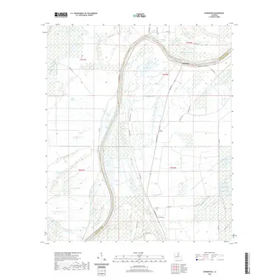
2020 Map of Dunbarton
USGS Topo · Published 2020About this map
The Tensas River meanders through this portion of the Mississippi Delta, defining the low-lying terrain along the border of Catahoula and Concordia Parishes. In this environment, water shapes the landscape and its history, evident in the numerous oxbows and backwaters like River Lake, Dead Lake, and Sunflower Lake. These features, along with names like Buttonwood Brake, suggest a landscape defined by seasonal flooding and cypress swamps. The settlement of Dunbarton is protected by the Dunbarton Levee Rd, highlighting the ongoing relationship between human habitation and the river's influence.
Find a feature on this map
54 named features on this map. Tap any name to fly to it.
Don’t see what you’re looking for? This feature index may not catch every label — zoom into the map to look around manually.
Map Details
Editions of this 2020 Dunbarton Map
This is the sole edition of this map. No revisions or reprints were ever made.
Other maps of this area

1909 · Sycamore Landing
USGS Topo · 1:24,000

1939 · Red Gum
USGS Topo · 1:62,500

1941 · Manifest
USGS Topo · 1:62,500

1941 · Sicily Island
USGS Topo · 1:62,500

1941 · Harrisonburg
USGS Topo · 1:62,500

1953 · Natchez
USGS Topo · 1:250,000

1956 · Natchez
USGS Topo · 1:250,000

1957 · Sicily Island
USGS Topo · 1:62,500

1959 · Natchez
USGS Topo · 1:250,000

1959 · Harrisonburg
USGS Topo · 1:62,500