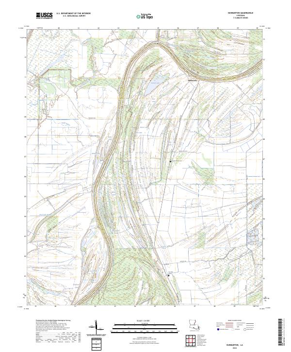
2024 Map of Dunbarton
USGS Topo · Published 2024About this map
The Tensas River meanders across the border of Concordia and Catahoula Parishes, creating a complex landscape of oxbow lakes and alluvial wetlands. At the heart of this riverine environment is the settlement of Dunbarton, situated near the massive Dunbarton Levee Rd. which protects local land from the unpredictable rise of the river system. The terrain is defined by a dense network of water bodies, including Long Lake, Round Lake, and the uniquely named Knockanot Lake.
Find a feature on this map
52 named features on this map. Tap any name to fly to it.
Don’t see what you’re looking for? This feature index may not catch every label — zoom into the map to look around manually.
Map Details
Editions of this 2024 Dunbarton Map
This is the sole edition of this map. No revisions or reprints were ever made.
Other maps of this area

1909 · Sycamore Landing
USGS Topo · 1:24,000

1939 · Red Gum
USGS Topo · 1:62,500

1941 · Manifest
USGS Topo · 1:62,500

1941 · Sicily Island
USGS Topo · 1:62,500

1941 · Harrisonburg
USGS Topo · 1:62,500

1953 · Natchez
USGS Topo · 1:250,000

1956 · Natchez
USGS Topo · 1:250,000

1957 · Sicily Island
USGS Topo · 1:62,500

1959 · Natchez
USGS Topo · 1:250,000

1959 · Harrisonburg
USGS Topo · 1:62,500