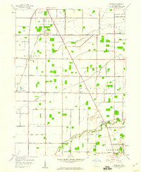
1958 Map of Dunbridge
USGS Topo · Published 1960About this map
Scotch Ridge sits along the Portage River in this Wood County landscape, where the flat agricultural terrain is defined by a rigid grid of country roads and family-named routes like Aufderstrasse Road and Zepernick Road. The New York Central railroad corridor anchors the western settlements of Dunbridge and Sugar Ridge, reflecting a mid-century period when rail and river still dictated local commerce and settlement patterns.
Find a feature on this map
43 named features on this map. Tap any name to fly to it.
Don’t see what you’re looking for? This feature index may not catch every label — zoom into the map to look around manually.
Map Details
Editions of this 1958 Dunbridge Map
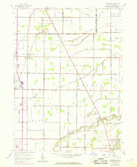
2 editions found
Other maps of this area

1900 · Maumee Bay
USGS Topo · 1:62,500

1900 · Toledo
USGS Topo · 1:62,500

1901 · Bowling Green
USGS Topo · 1:62,500

1901 · Elmore
USGS Topo · 1:62,500

1903 · Bowling Green
USGS Topo · 1:62,500

1903 · Elmore
USGS Topo · 1:62,500

1934 · Rossford
USGS Topo · 1:24,000

1935 · Walbridge
USGS Topo · 1:24,000

1935 · Maumee
USGS Topo · 1:24,000

1938 · Walbridge
USGS Topo · 1:31,680