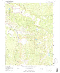
1966 Map of Dunckley Pass
USGS Topo · Published 1988About this map
Routt National Forest dominates this mid-1960s landscape, where the high-altitude terrain of the Dunckley Flat Tops transitions into steep basins and narrow creek valleys. Remote administrative markers like the Pyramid Guard Station indicate the seasonal management of these public lands, which are crisscrossed by a network of primitive transportation routes including a Jeep Trail and several Pack Trails.
Find a feature on this map
26 named features on this map. Tap any name to fly to it.
Don’t see what you’re looking for? This feature index may not catch every label — zoom into the map to look around manually.
Map Details
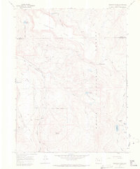
Editions of this 1966 Dunckley Pass Map
2 editions found
Other maps of this area

1916 · Daton Peak
USGS Topo · 1:62,500

1920 · Daton Peak
USGS Topo · 1:62,500

1924 · Mt. Harris
USGS Topo · 1:48,000

1926 · Mount Harris
USGS Topo · 1:62,500

1954 · Craig
USGS Topo · 1:250,000

1957 · Craig
USGS Topo · 1:250,000

1958 · Craig
USGS Topo · 1:250,000

1960 · Craig
USGS Topo · 1:250,000

1962 · Craig
USGS Topo · 1:250,000

1964 · Craig
USGS Topo · 1:250,000