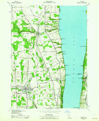
1942 Map of Dundee
USGS Topo · Published 1964About this map
The western shores of Seneca Lake are defined by a complex transportation network and established agricultural settlements in this 1942 survey. The village of Dundee serves as a regional hub, situated along Big Stream and surrounded by smaller communities like Himrod, Starkey, and Lakemont. The landscape is heavily marked by the competing routes of the Pennsylvania Central, New York Central, and Pennsylvania railroads, which facilitated the movement of goods and people through the Finger Lakes region. Along the shoreline, numerous named points such as Castle Pt and Plum Pt descend toward the water, while upland areas feature numerous country schools, including School No 9 and School No 5, and the campus of Lakemont Academy. Genealogists can find localized detail in burial grounds like Hillside Cem and Lakemont Cem, which anchor these rural townships.
Find a feature on this map
66 named features on this map. Tap any name to fly to it.
Don’t see what you’re looking for? This feature index may not catch every label — zoom into the map to look around manually.
Map Details
Editions of this 1942 Dundee Map
3 editions found
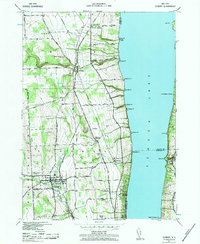
Other maps of this area

1898 · Watkins Glen
USGS Topo · 1:62,500

1901 · Watkins
USGS Topo · 1:62,500

1902 · Ovid
USGS Topo · 1:62,500

1903 · Penn Yan
USGS Topo · 1:62,500

1903 · Hammondsport
USGS Topo · 1:62,500

1905 · Watkins Glen
USGS Topo · 1:125,000

1942 · Penn Yan
USGS Topo · 1:31,680

1942 · Ovid
USGS Topo · 1:31,680

1942 · Dundee
USGS Topo · 1:24,000

1942 · Lodi
USGS Topo · 1:24,000