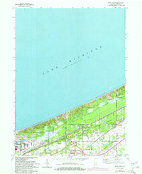
1968 Map of Dune Acres
USGS Topo · Published 1970About this map
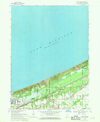
The southern coast of Lake Michigan dominates this landscape, where the shifting sands of the Indiana Dunes meet heavy industry and transit corridors. Established during a period of transition for the lakeshore, the map details the early footprint of the Indiana Dunes National Lakeshore as it wraps around the established residential enclaves of Dune Acres and Beverly Shores. The terrain is defined by prominent coastal rises like Mt Tom, Mt Holden, and Mt Jackson, while the lowlands are drained by Dunes Creek.
Find a feature on this map
29 named features on this map. Tap any name to fly to it.
Don’t see what you’re looking for? This feature index may not catch every label — zoom into the map to look around manually.
Map Details
Editions of this 1968 Dune Acres Map
2 editions found
Other maps of this area

1934 · Porter
USGS Topo · 1:48,000

1940 · Porter
USGS Topo · 1:62,500

1953 · Garyton
USGS Topo · 1:24,000

1953 · Westville
USGS Topo · 1:24,000

1953 · Ogden Dunes
USGS Topo · 1:24,000

1953 · Chesterton
USGS Topo · 1:24,000

1953 · Dune Acres
USGS Topo · 1:24,000

1953 · Michigan City West
USGS Topo · 1:24,000

1953 · Chicago
USGS Topo · 1:250,000

1957 · Chicago
USGS Topo · 1:250,000