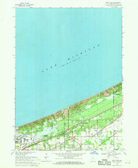
1968 Map of Dune Acres
USGS Topo · Published 1980About this map
The dramatic shoreline of Lake Michigan dominates this late-1960s study of the Indiana lakefront, where industrial growth and conservation efforts sit side-by-side. The protected landscape of Indiana Dunes State Park preserves notable topographical peaks like Mt Holden, Mt Tom, and Mt Jackson, contrasting sharply with the heavy infrastructure of the adjacent Burns Harbor. A dense network of transportation corridors, including the Chicago South Shore and South Bend Railroad and Penn Central, connects the lakeside communities of Dune Acres and Beverly Shores to the inland hubs of Porter and Chesterton. Genealogists will note the Bailey Cem and the nearby military reservation, while the presence of Dunes Creek and several utility stations highlights the complex management of this coastal environment as it transitioned through a period of significant regional development.
Find a feature on this map
30 named features on this map. Tap any name to fly to it.
Don’t see what you’re looking for? This feature index may not catch every label — zoom into the map to look around manually.
Map Details
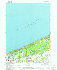
Editions of this 1968 Dune Acres Map
2 editions found
Other maps of this area

1934 · Porter
USGS Topo · 1:48,000

1940 · Porter
USGS Topo · 1:62,500

1953 · Garyton
USGS Topo · 1:24,000

1953 · Westville
USGS Topo · 1:24,000

1953 · Ogden Dunes
USGS Topo · 1:24,000

1953 · Chesterton
USGS Topo · 1:24,000

1953 · Dune Acres
USGS Topo · 1:24,000

1953 · Michigan City West
USGS Topo · 1:24,000

1953 · Chicago
USGS Topo · 1:250,000

1957 · Chicago
USGS Topo · 1:250,000