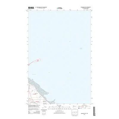
2014 Map of Dungeness OE E
USGS Topo · Published 2014About this map
Jamestown and its coastal surroundings are the primary focus of this coastal study, situated where the shoreline meets the expansive waters of Puget Sound. The settlement pattern is defined by a dense network of residential streets such as Sequim Dungeness Way, 3 Crabs Rd, and Jamestown Rd that hug the coast of Dungeness Bay.
Find a feature on this map
16 named features on this map. Tap any name to fly to it.
Don’t see what you’re looking for? This feature index may not catch every label — zoom into the map to look around manually.
Map Details
Editions of this 2014 Dungeness OE E Map
This is the sole edition of this map. No revisions or reprints were ever made.
Other maps of this area

1938 · Dungeness
USGS Topo · 1:62,500

1939 · Port Townsend
USGS Topo · 1:62,500

1939 · Dungeness
USGS Topo · 1:62,500

1943 · Richardson
USGS Topo · 1:62,500
1953 · Gardiner
USGS Topo · 1:24,000

1956 · Sequim
USGS Topo · 1:24,000
1956 · Carlsborg
USGS Topo · 1:24,000

1957 · Richardson
USGS Topo · 1:62,500

1957 · Victoria
USGS Topo · 1:250,000
1975 · Port Townsend
USGS Topo · 1:100,000