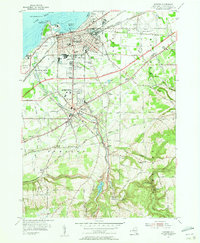
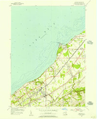
1954 Map of Dunkirk
USGS Topo · Published 1956About this map
Lake Erie defines the northern industrial and maritime character of Dunkirk, where a dense network of railroads including the New York Central RR and Erie RR converge at Union Station. This mid-century landscape is caught in a moment of transition, shown by the New York State Thruway marked as under construction. To the south, the village of Fredonia is centered around the State University Teachers College and the winding Canadaway Creek.
Find a feature on this map
101 named features on this map. Tap any name to fly to it.
Don’t see what you’re looking for? This feature index may not catch every label — zoom into the map to look around manually.
Map Details
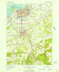
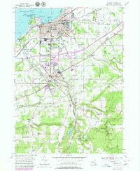
Editions of this 1954 Dunkirk Map
3 editions found
Other maps of this area

1899 · Silver Creek
USGS Topo · 1:62,500

1900 · Dunkirk
USGS Topo · 1:62,500

1900 · Cherry Creek
USGS Topo · 1:62,500

1941 · Cherry Creek
USGS Topo · 1:62,500

1943 · Dunkirk
USGS Topo · 1:62,500

1943 · Silver Creek
USGS Topo · 1:24,000

1944 · Silver Creek
USGS Topo · 1:31,680
1954 · Hamlet
USGS Topo · 1:24,000

1954 · Forestville
USGS Topo · 1:24,000
1954 · Brocton
USGS Topo · 1:24,000