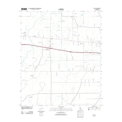
2012 Map of Dunn
USGS Topo · Published 2012About this map
The settlement of Dunn serves as a focal point in this portion of Richland Parish, where the local economy is deeply tied to the extraction of natural resources. The landscape is marked by the Sacksonia Gas Field, the West Delhi Oil and Gas Field, and the Southwest Delhi Oil Field, reflecting a region defined by industrial energy production. Along the eastern edge, the Delhi Refining Company stands near the railroad corridor at Sun Spur, further emphasizing the area's role as a processing and transportation hub.
Find a feature on this map
102 named features on this map. Tap any name to fly to it.
Don’t see what you’re looking for? This feature index may not catch every label — zoom into the map to look around manually.
Map Details
Editions of this 2012 Dunn Map
This is the sole edition of this map. No revisions or reprints were ever made.
Other maps of this area

1935 · Baskinton
USGS Topo · 1:62,500

1935 · Hurricane
USGS Topo · 1:62,500

1935 · Waverly
USGS Topo · 1:62,500

1955 · Jackson
USGS Topo · 1:250,000

1958 · Baskinton
USGS Topo · 1:62,500

1958 · Hurricane
USGS Topo · 1:62,500

1959 · Mitchiner
USGS Topo · 1:62,500

1961 · Jackson
USGS Topo · 1:250,000

1961 · Waverly
USGS Topo · 1:62,500

1962 · Jackson
USGS Topo · 1:250,000