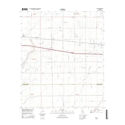
2015 Map of Dunn
USGS Topo · Published 2015About this map
The agricultural corridor of Delhi and Dunn in Richland Parish is defined by a dense network of drainage sloughs and creeks that have shaped the development of northern Louisiana. The landscape is a transition between the old channel of Big Creek and the intricate waterways of Wildcat Slough, Congo Cr, and Turkey Cr. These water systems historically dictated the placement of small agricultural hubs like Sacksonia and Holly Ridge, which sit along the primary transport route crossing the parish.
Find a feature on this map
87 named features on this map. Tap any name to fly to it.
Don’t see what you’re looking for? This feature index may not catch every label — zoom into the map to look around manually.
Map Details
Editions of this 2015 Dunn Map
This is the sole edition of this map. No revisions or reprints were ever made.
Other maps of this area

1935 · Baskinton
USGS Topo · 1:62,500

1935 · Hurricane
USGS Topo · 1:62,500

1935 · Waverly
USGS Topo · 1:62,500

1955 · Jackson
USGS Topo · 1:250,000

1958 · Baskinton
USGS Topo · 1:62,500

1958 · Hurricane
USGS Topo · 1:62,500

1959 · Mitchiner
USGS Topo · 1:62,500

1961 · Jackson
USGS Topo · 1:250,000

1961 · Waverly
USGS Topo · 1:62,500

1962 · Jackson
USGS Topo · 1:250,000