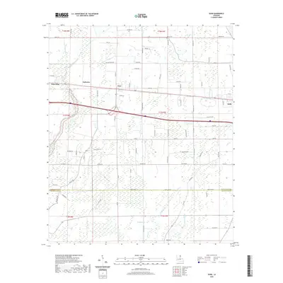
2020 Map of Dunn
USGS Topo · Published 2020About this map
Delhi and the surrounding agricultural lands of Richland and Franklin Parishes characterize this survey of the Louisiana delta. The landscape is defined by an intricate network of waterways and low-lying drainages, including Wildcat Slough, Muddy Slough, and Big Creek. These natural features dictated the early settlement patterns and the placement of rural communities like Sacksonia, Dunn, and Holly Ridge.
Find a feature on this map
83 named features on this map. Tap any name to fly to it.
Don’t see what you’re looking for? This feature index may not catch every label — zoom into the map to look around manually.
Map Details
Editions of this 2020 Dunn Map
This is the sole edition of this map. No revisions or reprints were ever made.
Other maps of this area

1935 · Baskinton
USGS Topo · 1:62,500

1935 · Hurricane
USGS Topo · 1:62,500

1935 · Waverly
USGS Topo · 1:62,500

1955 · Jackson
USGS Topo · 1:250,000

1958 · Baskinton
USGS Topo · 1:62,500

1958 · Hurricane
USGS Topo · 1:62,500

1959 · Mitchiner
USGS Topo · 1:62,500

1961 · Jackson
USGS Topo · 1:250,000

1961 · Waverly
USGS Topo · 1:62,500

1962 · Jackson
USGS Topo · 1:250,000