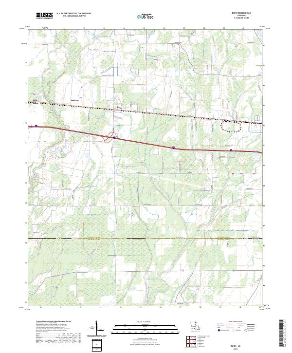
2024 Map of Dunn
USGS Topo · Published 2024About this map
The low-lying drainage patterns of northeastern Louisiana define this landscape, where the transition from Richland Parish to Franklin Parish is marked by a network of winding waterways and agricultural tracts. The settlement of Dunn serves as a central point along the east-west transportation corridor, flanked by the smaller communities of Holly Ridge and Sacksonia. The terrain is heavily characterized by its hydrography, featuring numerous slow-moving water bodies such as Hurricane Slough, Wildcat Slough, and Muddy Slough that suggest a history of seasonal inundation and complex alluvial soil development.
Find a feature on this map
81 named features on this map. Tap any name to fly to it.
Don’t see what you’re looking for? This feature index may not catch every label — zoom into the map to look around manually.
Map Details
Editions of this 2024 Dunn Map
This is the sole edition of this map. No revisions or reprints were ever made.
Other maps of this area

1935 · Baskinton
USGS Topo · 1:62,500

1935 · Hurricane
USGS Topo · 1:62,500

1935 · Waverly
USGS Topo · 1:62,500

1955 · Jackson
USGS Topo · 1:250,000

1958 · Baskinton
USGS Topo · 1:62,500

1958 · Hurricane
USGS Topo · 1:62,500

1959 · Mitchiner
USGS Topo · 1:62,500

1961 · Jackson
USGS Topo · 1:250,000

1961 · Waverly
USGS Topo · 1:62,500

1962 · Jackson
USGS Topo · 1:250,000