
1894 Map of Dunnellon
USGS Topo · Published 1894About this map
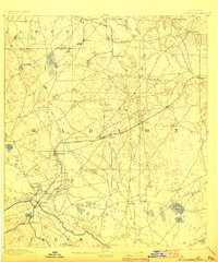
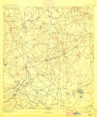
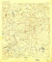
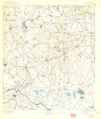
Phosphate extraction dominates this late-nineteenth-century landscape, as indicated by the cluster of Phosphate Mines north of Dunnellon. The industrial footprint of the era is evident in the heavy concentration of mining operations such as the Standard Mine, Chicago Mine, and Eagle Mine, which were served by an expanding rail network including the Silver Springs and Ocala line. These mining interests integrated with older river-based transport, where crossings like Fisk Ferry and Camp Izard Ferry provided essential passage over the Withlacoochee River.
Find a feature on this map
45 named features on this map. Tap any name to fly to it.
Don’t see what you’re looking for? This feature index may not catch every label — zoom into the map to look around manually.
Map Details
Editions of this 1894 Dunnellon Map
5 editions found
Other maps of this area

1892 · Dunnellon
USGS Topo · 1:62,500

1893 · Panasoffkee
USGS Topo · 1:62,500

1893 · Citra
USGS Topo · 1:62,500

1895 · Williston
USGS Topo · 1:62,500

1895 · Tsala Apopka
USGS Topo · 1:62,500

1895 · Citra
USGS Topo · 1:62,500

1895 · Panasoffkee
USGS Topo · 1:62,500

1895 · Ocala
USGS Topo · 1:62,500

1954 · Holder
USGS Topo · 1:24,000

1954 · Crystal River
USGS Topo · 1:24,000