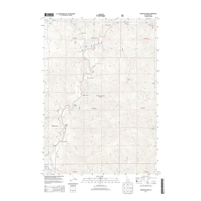
2013 Map of Dunnigan Creek
USGS Topo · Published 2013About this map
Robie Creek sits at the heart of this Boise County landscape, where the waters of Mores Creek carve through the deep drainages of the Boise National Forest. The map detail reveals a complex network of canyons and ridges defined by numerous named gulches, such as Robbers Gulch, Star Gulch, and Mudders Gulch. These features, along with the prominence of Mt Heinen to the southeast, illustrate the verticality of the terrain that has historically shaped settlement and access in this part of Idaho.
Find a feature on this map
44 named features on this map. Tap any name to fly to it.
Don’t see what you’re looking for? This feature index may not catch every label — zoom into the map to look around manually.
Map Details
Editions of this 2013 Dunnigan Creek Map
This is the sole edition of this map. No revisions or reprints were ever made.
Other maps of this area

1892 · Boise
USGS Topo · 1:125,000

1894 · Idaho Basin
USGS Topo · 1:125,000

1897 · Boise
USGS Topo · 1:125,000

1949 · Robie Creek
USGS Topo · 1:24,000

1954 · Boise
USGS Topo · 1:62,500

1955 · Hailey
USGS Topo · 1:250,000

1955 · Boise
USGS Topo · 1:250,000

1957 · Warm Springs Point
USGS Topo · 1:24,000
1957 · Shafer Butte
USGS Topo · 1:24,000

1957 · Idaho City
USGS Topo · 1:24,000