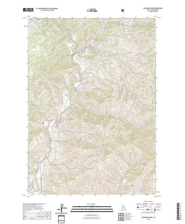
2023 Map of Dunnigan Creek
USGS Topo · Published 2023About this map
Boise National Forest encompasses much of this landscape, where the high-elevation terrain is defined by a dense network of creek drainages and deep gulches. The Ponderosa Pine Scenic Route follows the winding path of Mores Creek, providing the primary access through this part of Boise County. Higher elevations are marked by landmarks like Warm Springs Point and the steep Mores Cr Rim.
Find a feature on this map
47 named features on this map. Tap any name to fly to it.
Don’t see what you’re looking for? This feature index may not catch every label — zoom into the map to look around manually.
Map Details
Editions of this 2023 Dunnigan Creek Map
This is the sole edition of this map. No revisions or reprints were ever made.
Other maps of this area

1892 · Boise
USGS Topo · 1:125,000

1894 · Idaho Basin
USGS Topo · 1:125,000

1897 · Boise
USGS Topo · 1:125,000

1949 · Robie Creek
USGS Topo · 1:24,000

1954 · Boise
USGS Topo · 1:62,500

1955 · Hailey
USGS Topo · 1:250,000

1955 · Boise
USGS Topo · 1:250,000

1957 · Warm Springs Point
USGS Topo · 1:24,000
1957 · Shafer Butte
USGS Topo · 1:24,000

1957 · Idaho City
USGS Topo · 1:24,000