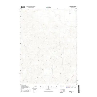
2014 Map of Dunning NE
USGS Topo · Published 2014About this map
Hawley Flats characterizes the northeastern reaches of this Nebraska Sandhills landscape, where the terrain transitions from undulating dunes into broader, level stretches. The southern portion of the sheet is defined by the winding path of Sandhills Rd, which skirts the edge of the more complex dune formations. In the southeast corner, Ne 91 cuts through the hills, providing a primary thoroughfare across this sparsely populated section of Blaine County. This 2014 survey documents the relationship between modern infrastructure and the ancient, stabilized sand dunes that define the region's geography.
Find a feature on this map
3 named features on this map. Tap any name to fly to it.
Don’t see what you’re looking for? This feature index may not catch every label — zoom into the map to look around manually.
Map Details
Editions of this 2014 Dunning NE Map
This is the sole edition of this map. No revisions or reprints were ever made.
Other maps of this area

1949 · Koshopah
USGS Topo · 1:62,500

1951 · Dunning
USGS Topo · 1:62,500

1951 · Koshopah
USGS Topo · 1:62,500

1952 · Brewster SW
USGS Topo · 1:24,000

1952 · Brewster NW
USGS Topo · 1:24,000

1954 · North Platte
USGS Topo · 1:250,000

1955 · Broken Bow
USGS Topo · 1:250,000

1955 · O'Neill
USGS Topo · 1:250,000

1956 · Broken Bow
USGS Topo · 1:250,000

1956 · North Platte
USGS Topo · 1:250,000