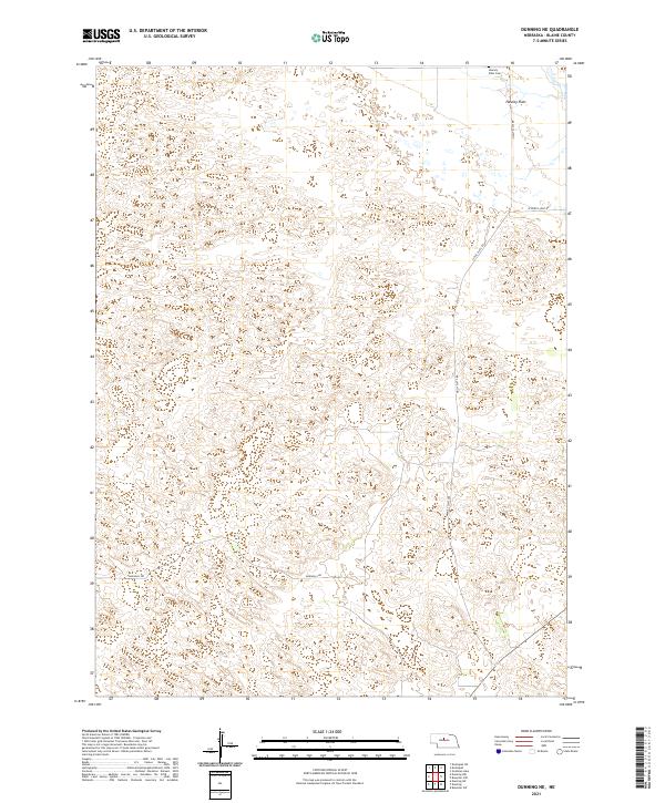
2021 Map of Dunning NE
USGS Topo · Published 2021About this map
Hawley Flats and its surrounding landscape represent a classic segment of the Nebraska Sandhills, where the topography is defined by intricate dune formations and isolated depressions. This 2021 survey illustrates how modern infrastructure adapts to this distinct terrain, with Sandhills Dr and Hawley Flats Ave providing access through the shifting elevations of Blaine County. The presence of the Hawley Flats Cem near the northern boundary provides a vital anchor for genealogists and local historians, marking the enduring footprint of early settlement in a region characterized by expansive rangeland and low population density. Roads such as Holly Flats Rd and W North Loup Rd trace the edges of section lines, reflecting the structured Public Land Survey System that governs the township and range divisions across this prairie environment.
Find a feature on this map
11 named features on this map. Tap any name to fly to it.
Don’t see what you’re looking for? This feature index may not catch every label — zoom into the map to look around manually.
Map Details
Editions of this 2021 Dunning NE Map
This is the sole edition of this map. No revisions or reprints were ever made.
Other maps of this area

1949 · Koshopah
USGS Topo · 1:62,500

1951 · Dunning
USGS Topo · 1:62,500

1951 · Koshopah
USGS Topo · 1:62,500

1952 · Brewster SW
USGS Topo · 1:24,000

1952 · Brewster NW
USGS Topo · 1:24,000

1954 · North Platte
USGS Topo · 1:250,000

1955 · Broken Bow
USGS Topo · 1:250,000

1955 · O'Neill
USGS Topo · 1:250,000

1956 · Broken Bow
USGS Topo · 1:250,000

1956 · North Platte
USGS Topo · 1:250,000