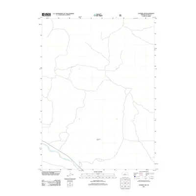
2011 Map of Dunning NW
USGS Topo · Published 2011About this map
Middle Loup River winds through the southwestern corner of this Blaine County landscape, defining the primary drainage for this stretch of the Nebraska Sandhills. The terrain is notably sparse, characteristic of the region's vast grazing lands and open rangeland. A significant marker of local community history is the Hardscrabble School, positioned centrally within the quadrangle. This one-room schoolhouse site reflects the early 21st-century rural education pattern, where such named landmarks often served as the primary social and geographic anchors for remote ranching families and homesteads in the Nebraska interior.
Find a feature on this map
2 named features on this map. Tap any name to fly to it.
Don’t see what you’re looking for? This feature index may not catch every label — zoom into the map to look around manually.
Map Details
Editions of this 2011 Dunning NW Map
This is the sole edition of this map. No revisions or reprints were ever made.
Other maps of this area

1948 · Halsey
USGS Topo · 1:62,500

1949 · Purdum
USGS Topo · 1:62,500

1949 · Koshopah
USGS Topo · 1:62,500

1950 · Halsey
USGS Topo · 1:62,500

1951 · Dunning
USGS Topo · 1:62,500

1951 · Purdum
USGS Topo · 1:62,500

1951 · Koshopah
USGS Topo · 1:62,500

1954 · North Platte
USGS Topo · 1:250,000

1956 · North Platte
USGS Topo · 1:250,000

1957 · North Platte
USGS Topo · 1:250,000